OS data products​

Search below to find the best geospatial data product for you

Showing 11 results
  • Page 1
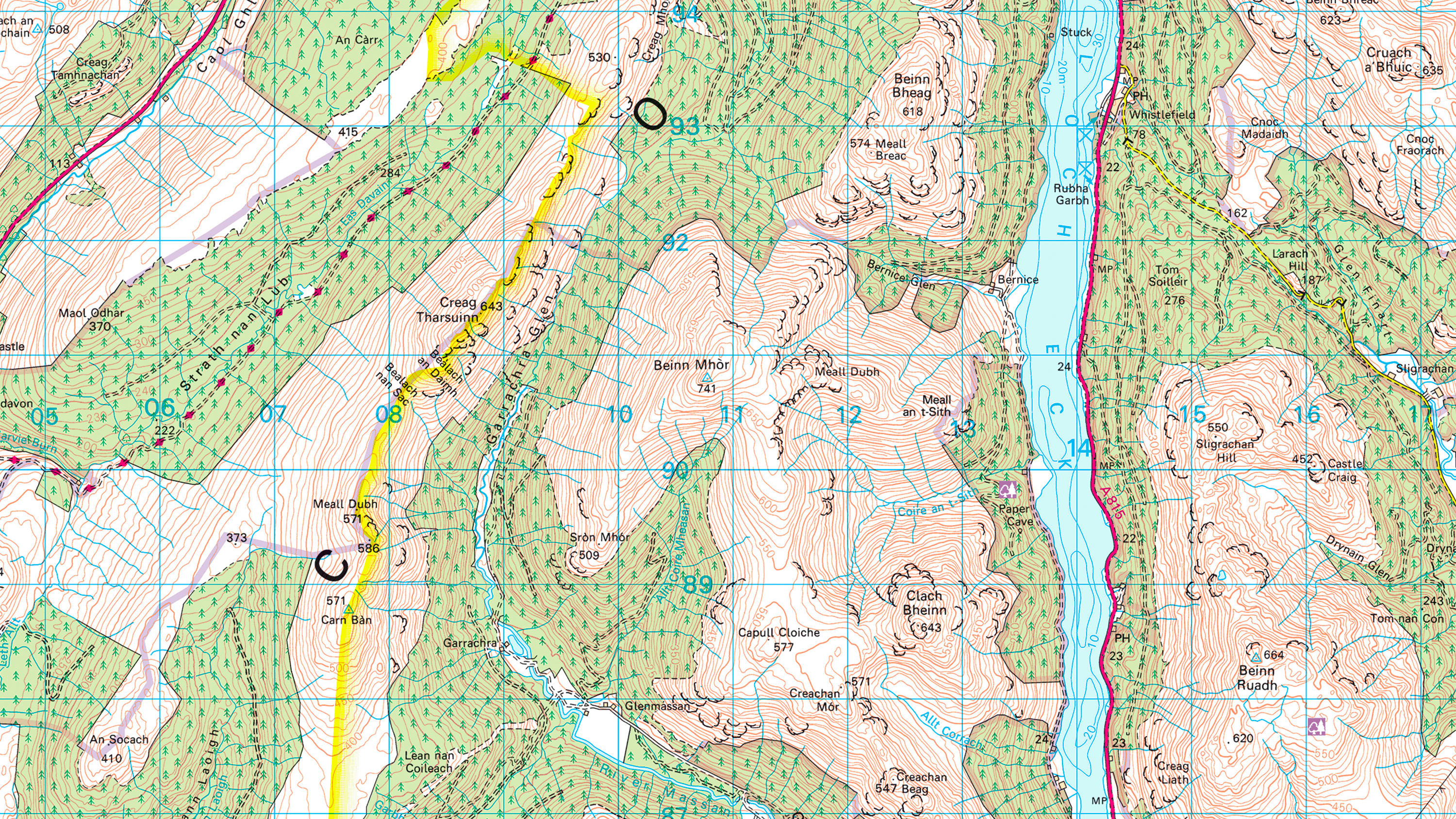
  • 1:25 000 Scale Colour Raster is the digital alternative to Ordnance Survey's OS Explorer paper map series for Great Britain.

    DownloadContextual or derived mappingPublic Sector PlanPremium PlanEnergy & Infrastructure Plan
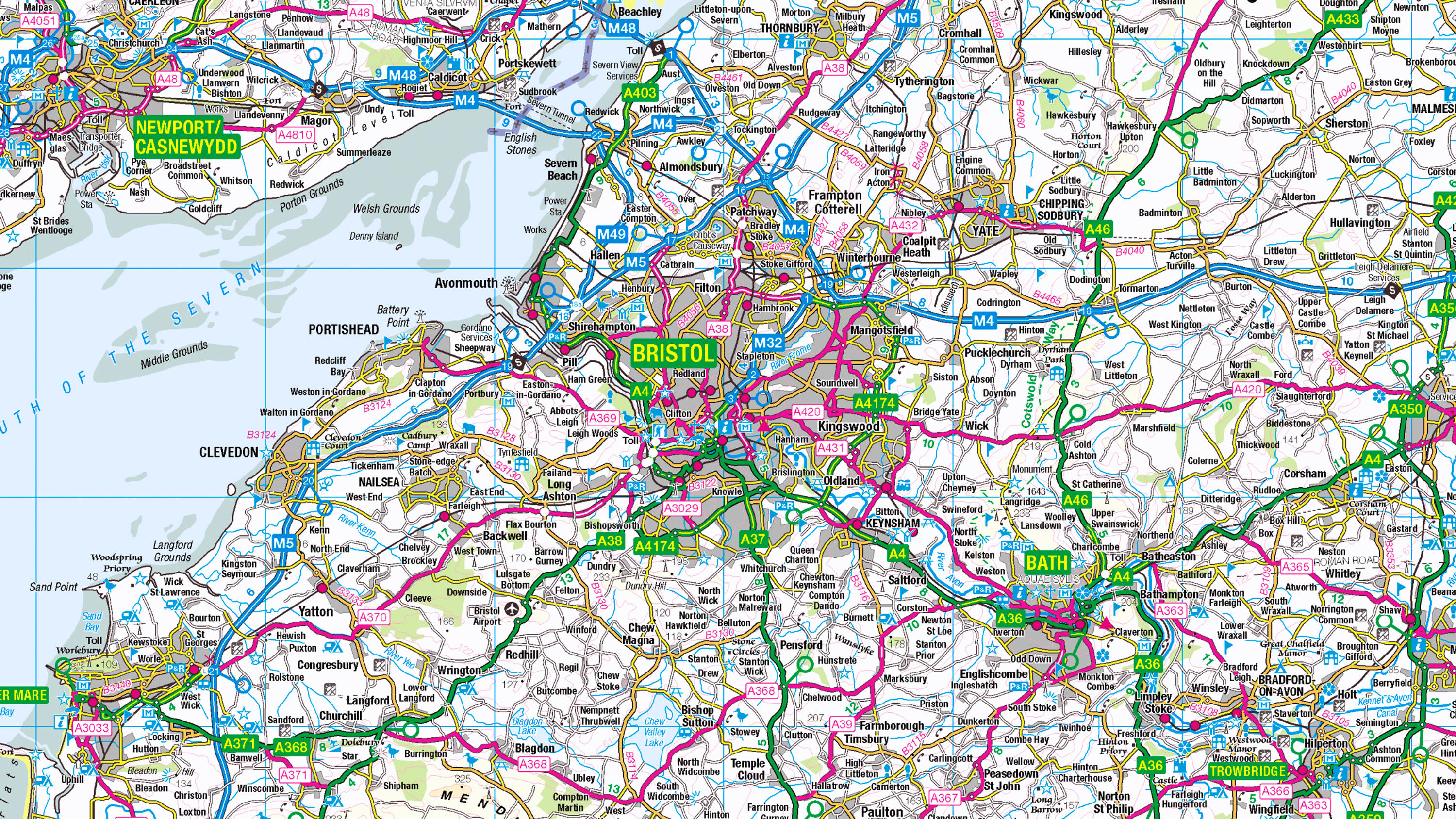
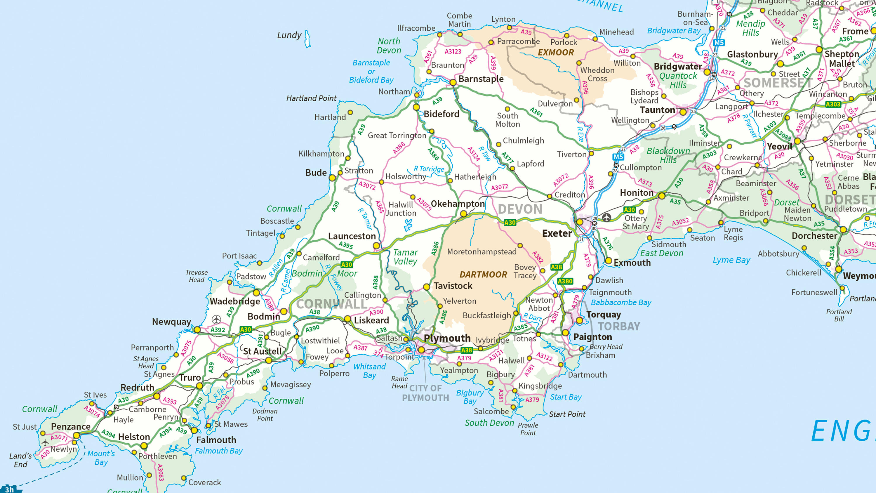
  • 1:250 000 Scale Colour Raster is an open dataset of the regional view of towns and villages, roads and places of interest.

    DownloadContextual or derived mappingOS OpenData Plan (FREE)Public Sector PlanPremium PlanEnergy & Infrastructure Plan
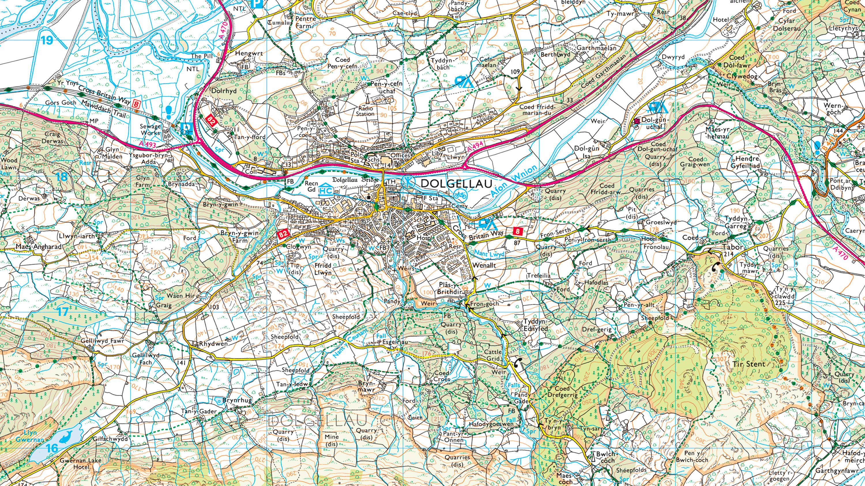
  • 1:50 000 Scale Colour Raster is the digital alternative to Ordnance Survey's OS Landranger paper map series for Great Britain.

    DownloadContextual or derived mappingPublic Sector PlanPremium PlanEnergy & Infrastructure Plan
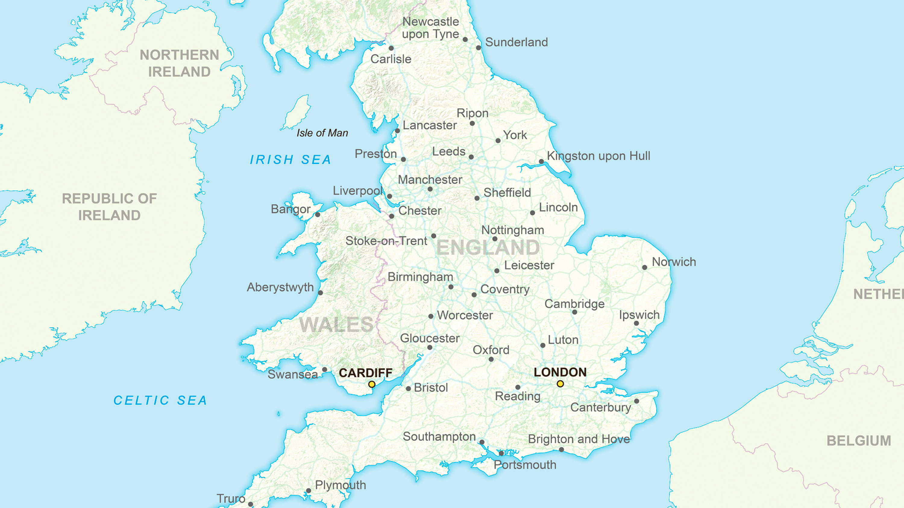
  • Ordnance Survey's GB Overview Maps is an open overview map of Great Britain.

    DownloadContextual or derived mappingOS OpenData Plan (FREE)Premium PlanPublic Sector PlanEnergy & Infrastructure Plan
  • Ordnance Survey's MiniScale® is an open national backdrop map of Great Britain.

    DownloadContextual or derived mappingEnergy & Infrastructure PlanOS OpenData Plan (FREE)Premium PlanPublic Sector Plan
  • Accurate, up-to-date maps that offer the most convenient way to add detailed OS data to your application.

    APIContextual or derived mappingOS OpenData Plan (FREE)Premium PlanPublic Sector PlanEnergy & Infrastructure Plan
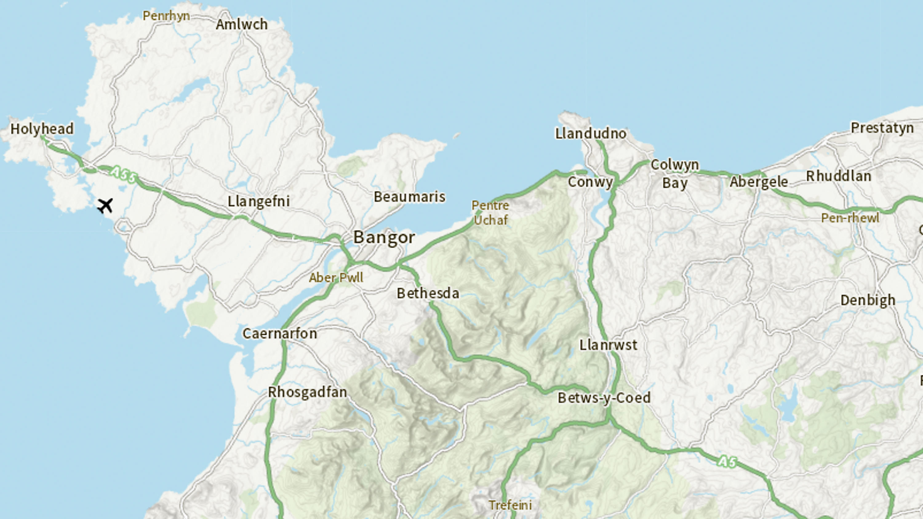
  • Ordnance Survey's OS Open Zoomstack is an open vector basemap showing coverage of Great Britain from a national level, right down to street detail.

    DownloadContextual or derived mappingOS OpenData Plan (FREE)Public Sector PlanPremium PlanEnergy & Infrastructure Plan
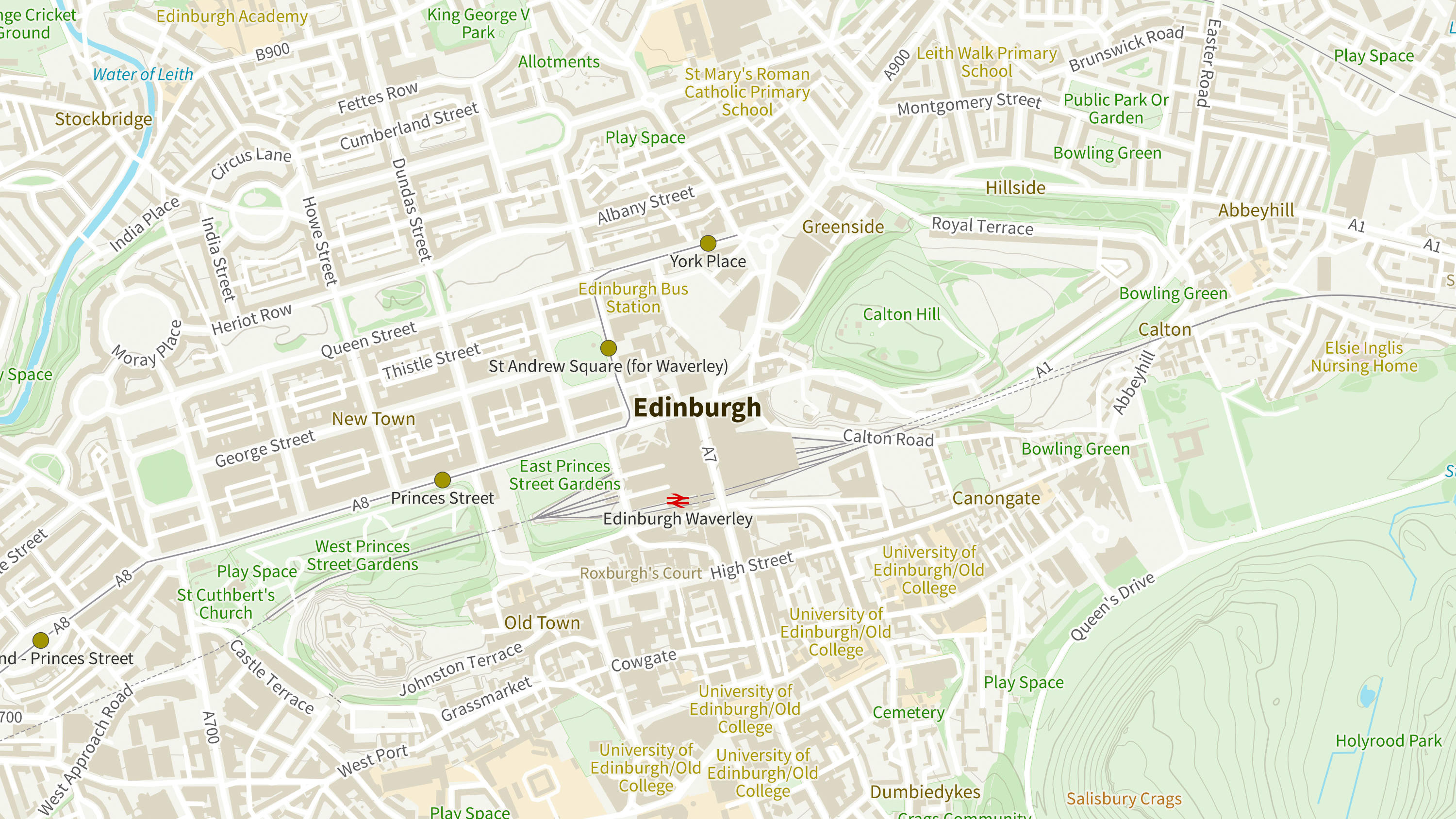
  • OS OpenMap Local is an open dataset of detailed, street-level mapping of Great Britain.

    DownloadContextual or derived mappingEnergy & Infrastructure PlanOS OpenData Plan (FREE)Premium PlanPublic Sector Plan
  • A vector tile service providing detailed Ordnance Survey data as a customisable basemap.

    APIContextual or derived mappingOS OpenData Plan (FREE)Public Sector PlanPremium PlanEnergy & Infrastructure Plan
  • OS VectorMap® District is an open basemap to overlay and visualise your own information on.

    DownloadContextual or derived mappingOS OpenData Plan (FREE)Public Sector PlanPremium PlanEnergy & Infrastructure Plan
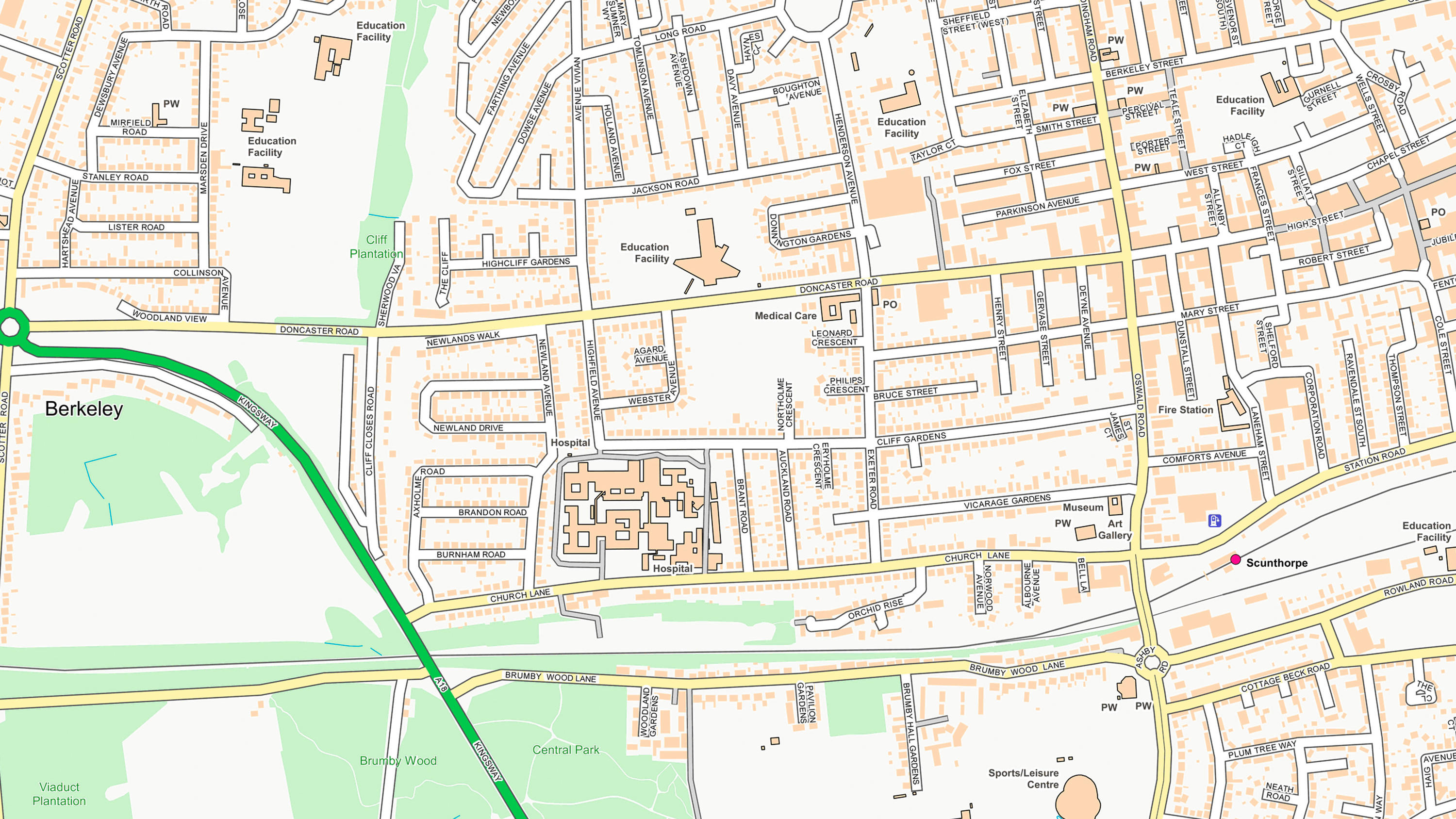
  • OS VectorMap® Local is a highly-detailed, customisable, street-level map, showing fences, building outlines, paths and street names.

    DownloadContextual or derived mappingPublic Sector PlanPremium PlanEnergy & Infrastructure Plan