OS data products
Search below to find the best geospatial data product for you
- Page 1

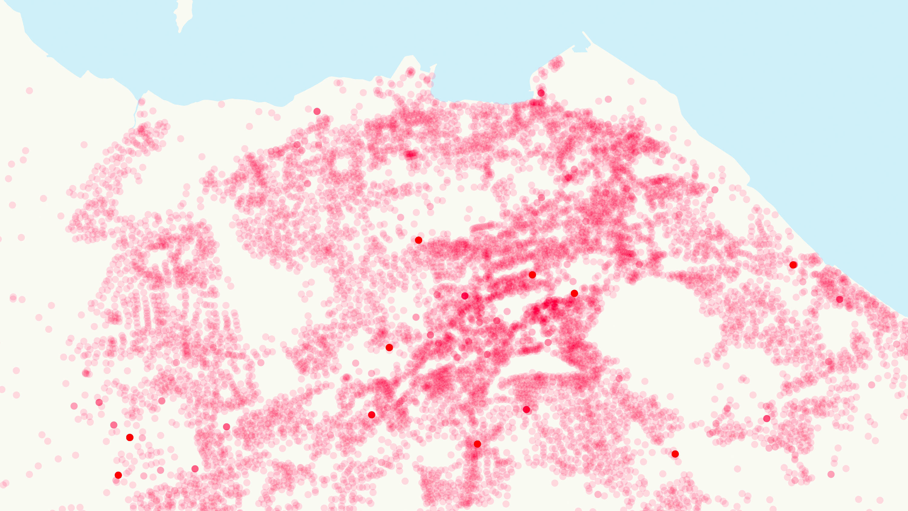
AddressBase matches 29 million Royal Mail postal address to unique property reference numbers, bringing a new dimension to the matched records.
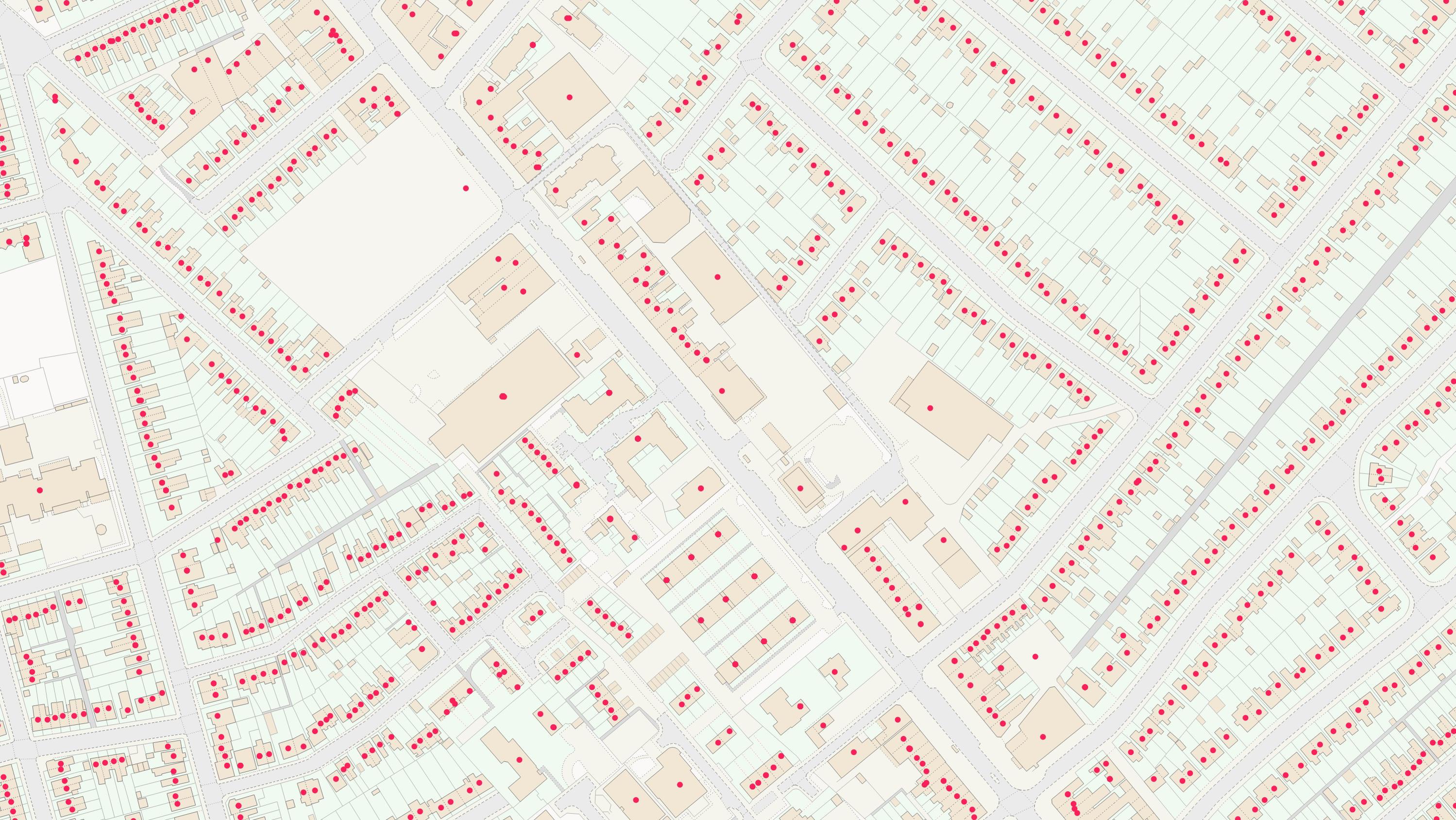
AddressBase Core is a simple, accessible addressing data product giving plug and play access to complete, accurate address data.

An addressing gazetteer offering full lifecycle information of a property for Northern Ireland, Isle of Man and the Channel Islands.

A dataset containing UPRN, PAF UDPRN, business/residential classification, local authority current addresses and the OS MasterMap TOID.
An addressing gazetteer offering full lifecycle information of a property that can be used within geographical information systems & database systems.
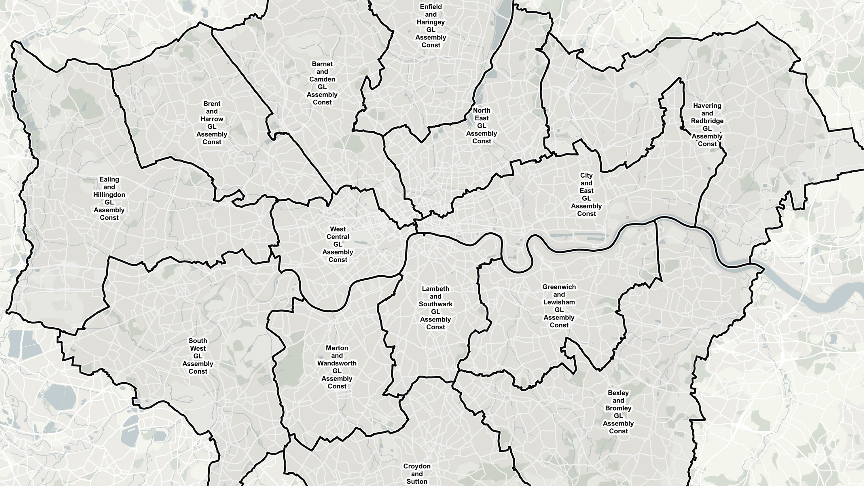
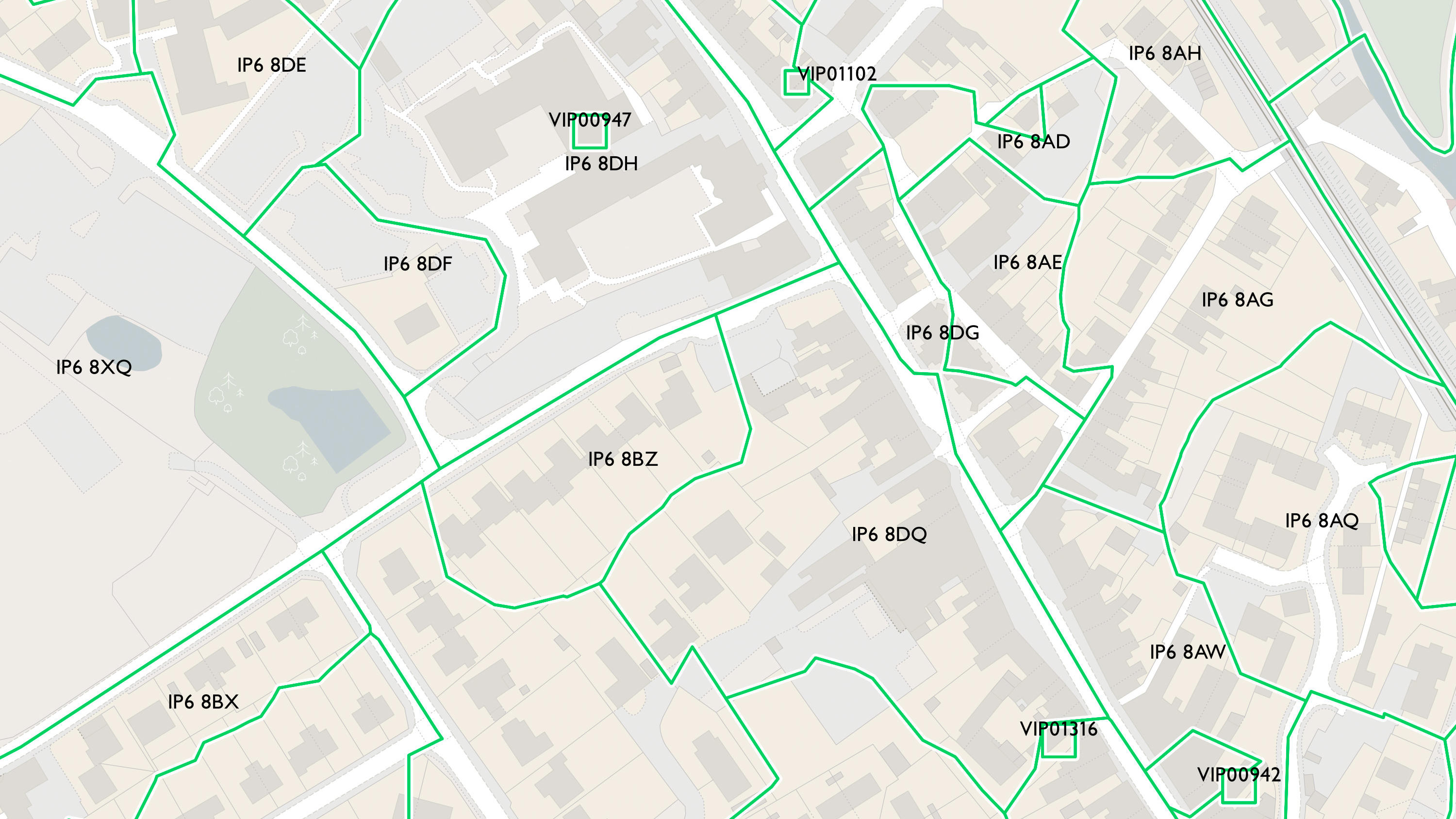
Ordnance Survey's Boundary-Line™ is an open dataset of every administrative boundary in Great Britain.
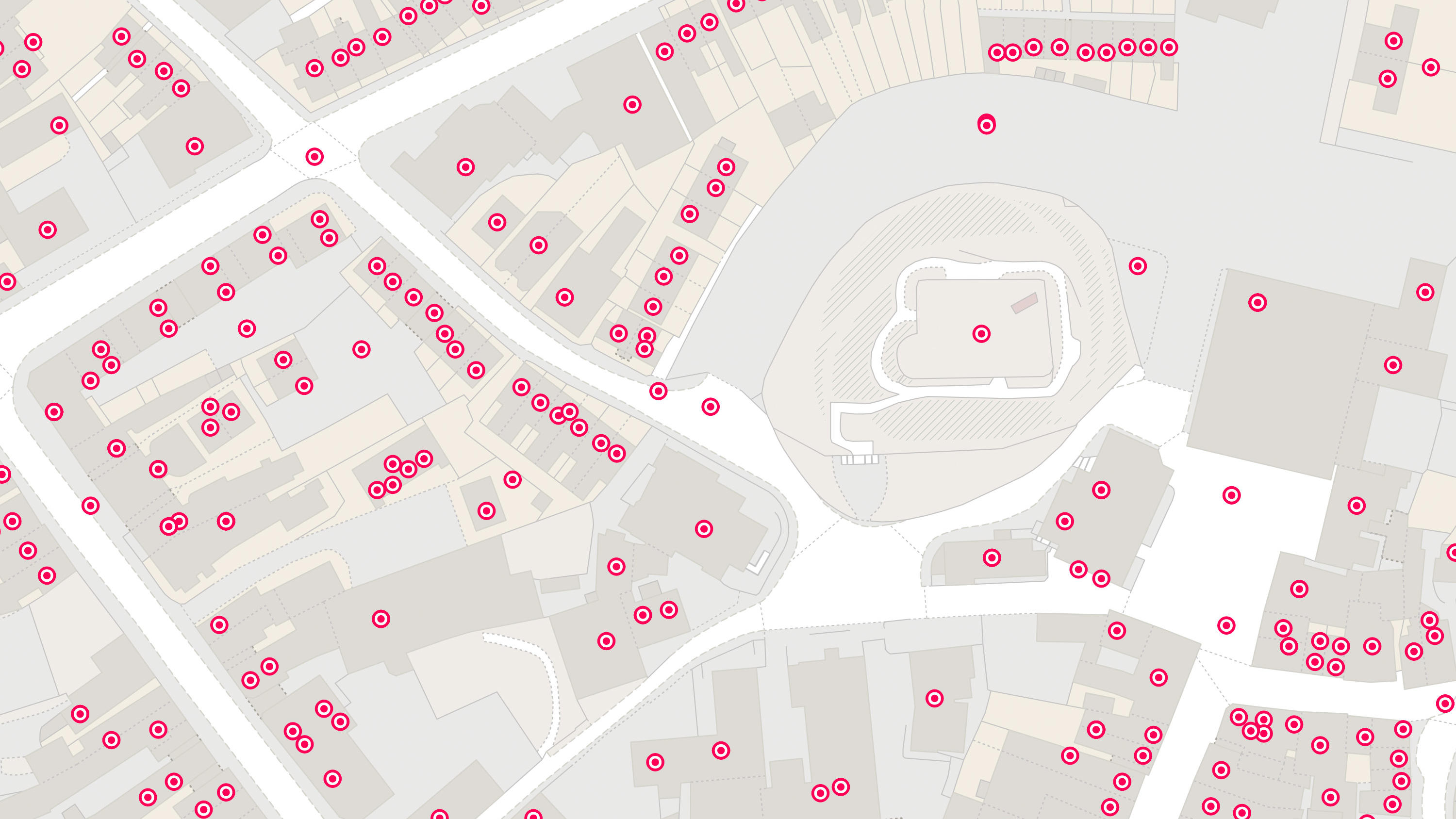
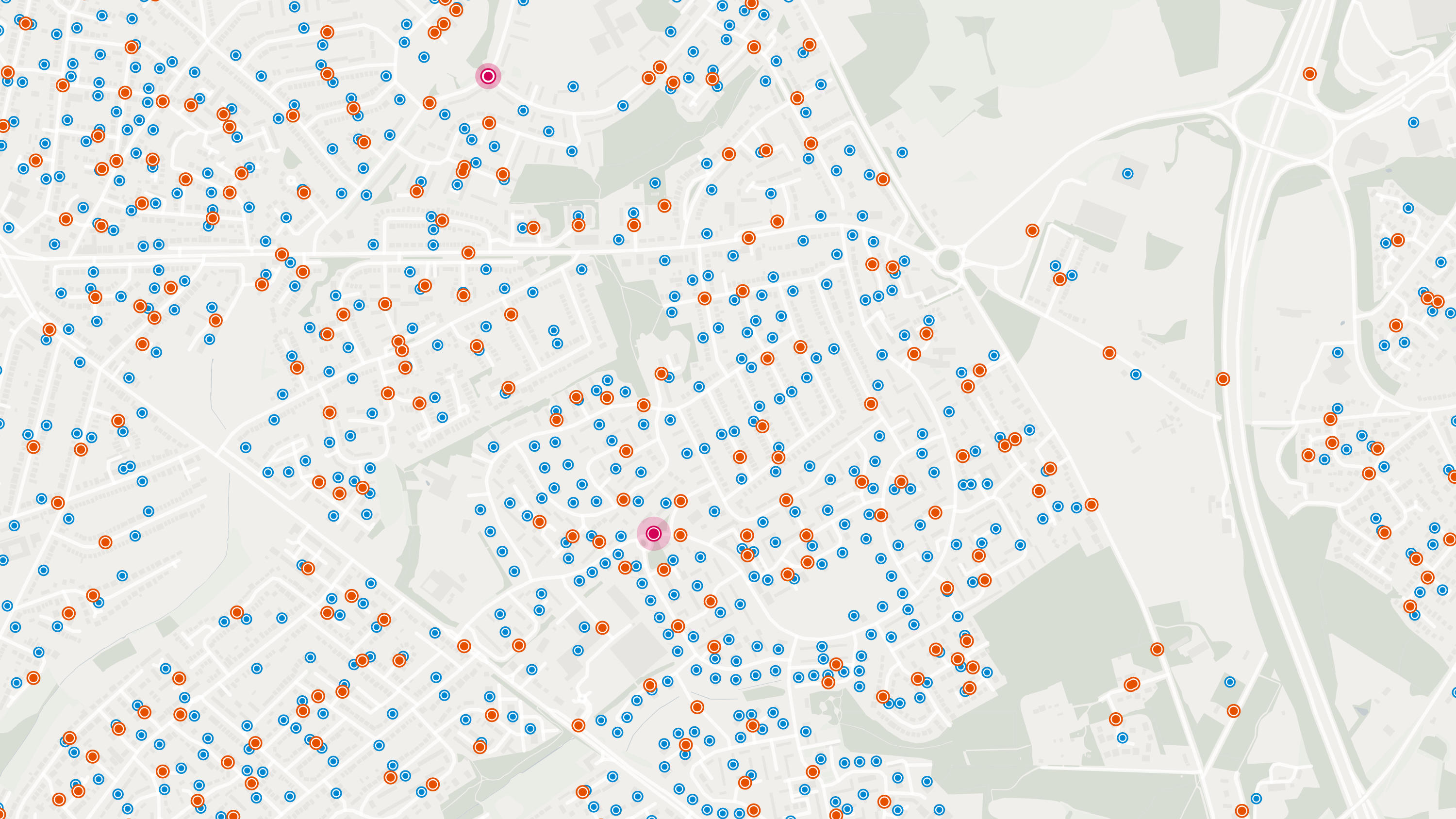
Code-Point® is a postcode locator with postcode units in Great Britain and Northern Ireland.
Ordnance Survey's Code-Point® Open is an open dataset of all the current postcode units in Great Britain.
Code-Point® with Polygons shows the notional shape of every postcode unit in Great Britain including buildings with multiple postcodes.
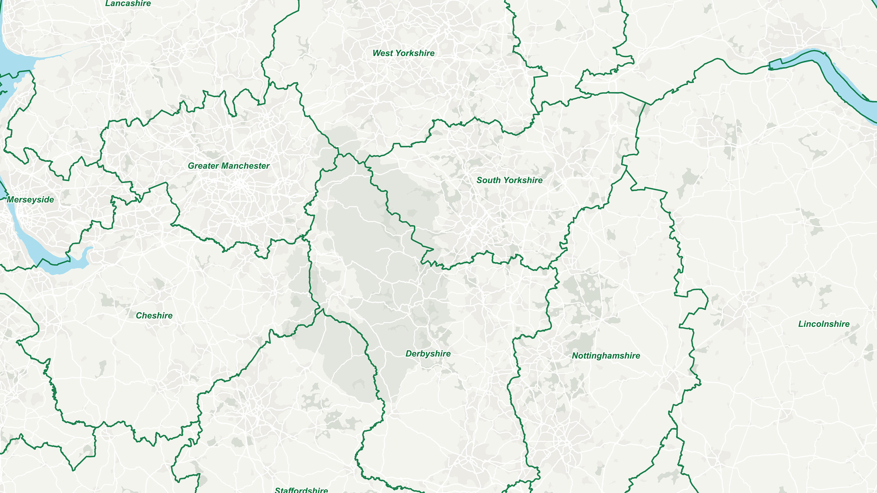
GB Counties - Past and Present displays historic and ceremonial counties in Great Britain.
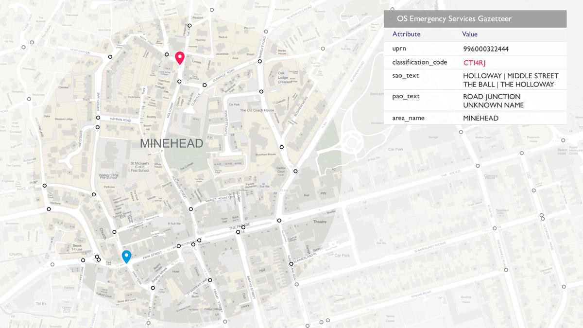
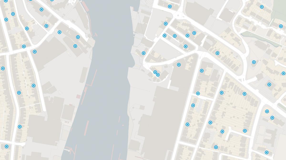
The OS Emergency Services Gazetteer (ESG) provides a national, consistent, and maintained view of the locations and names of places and objects.
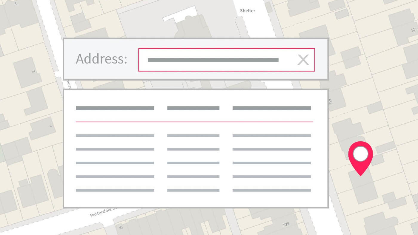
With OS Match & Cleanse API, you’ll have instant, reliable search results to make deduping and cleansing address data easier for your business.
A geographic directory with basic information on identifiable places. Find the closest location to a given point through the API.
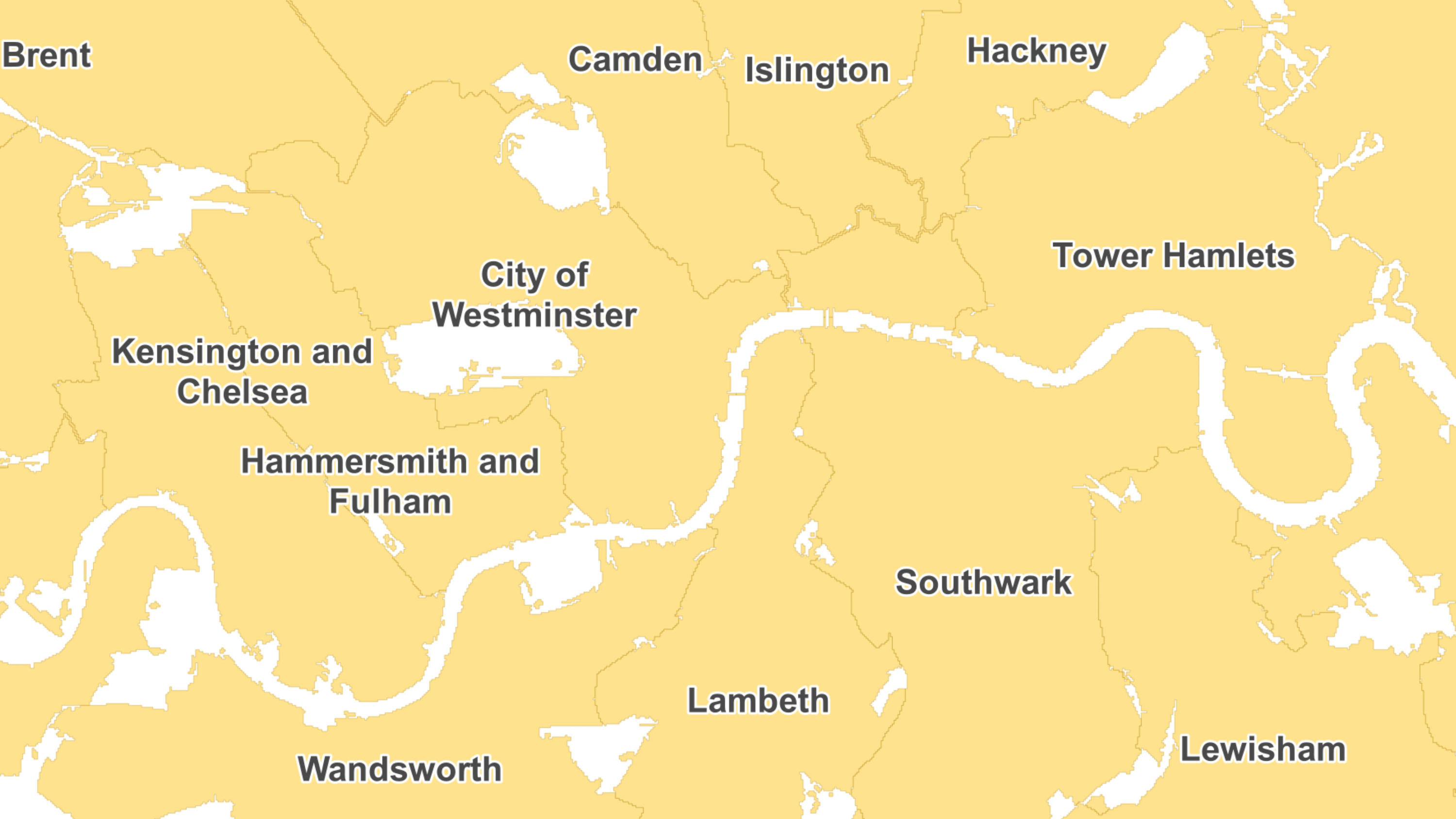
The statistical geographies used by Government departments to analyse census data, deliver on policy and improve services.
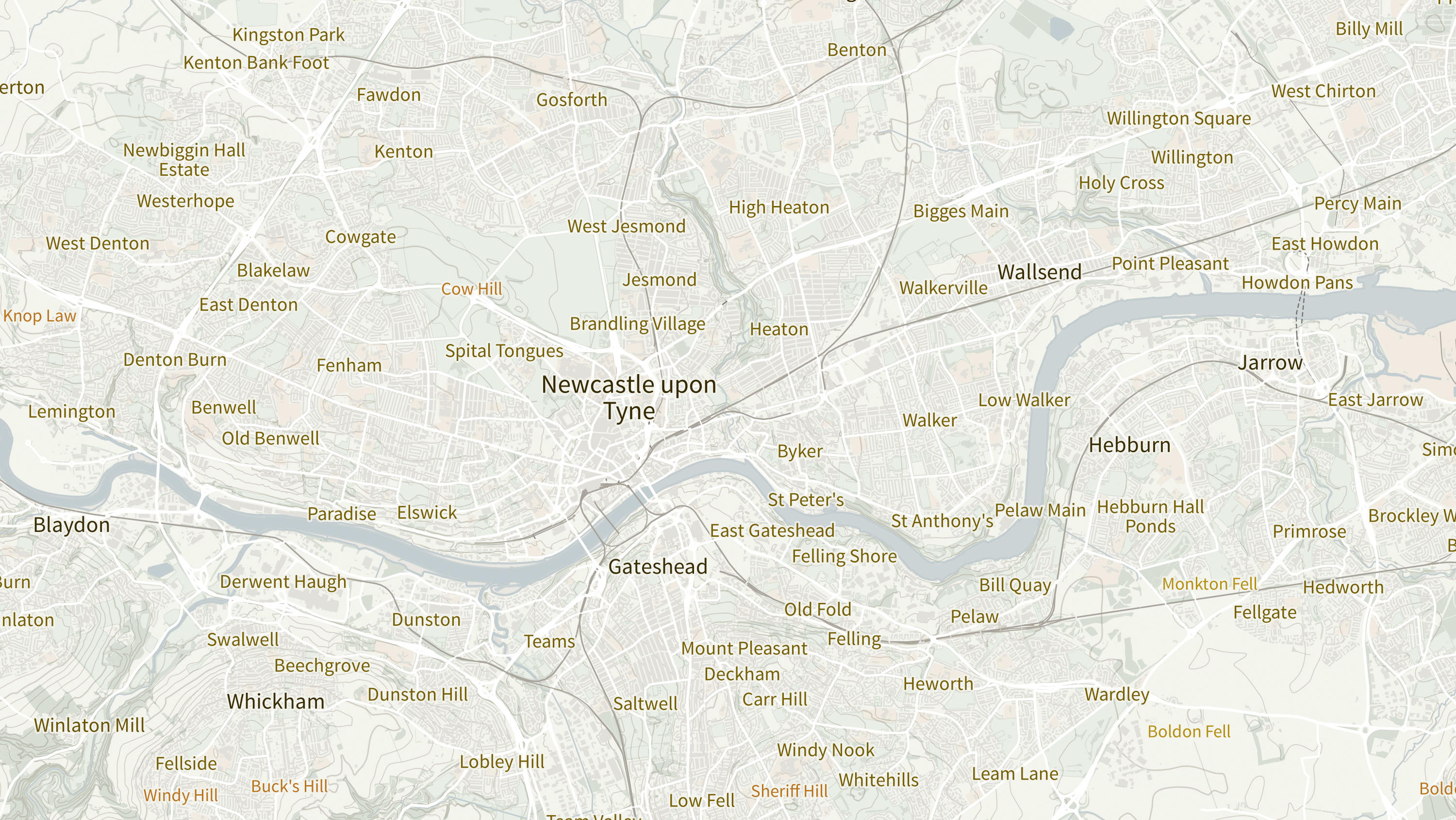
OS Open Names is an open dataset of place names, road numbers and postcodes in Great Britain.
Perform accurate geocoding and reverse geocoding with our secure, scalable, and resilient address API.
Points of Interest is a directory of all public and privately-owned businesses, education and leisure services .