OS data products​

Search below to find the best geospatial data product for you

Showing 25 results
  • Page 1
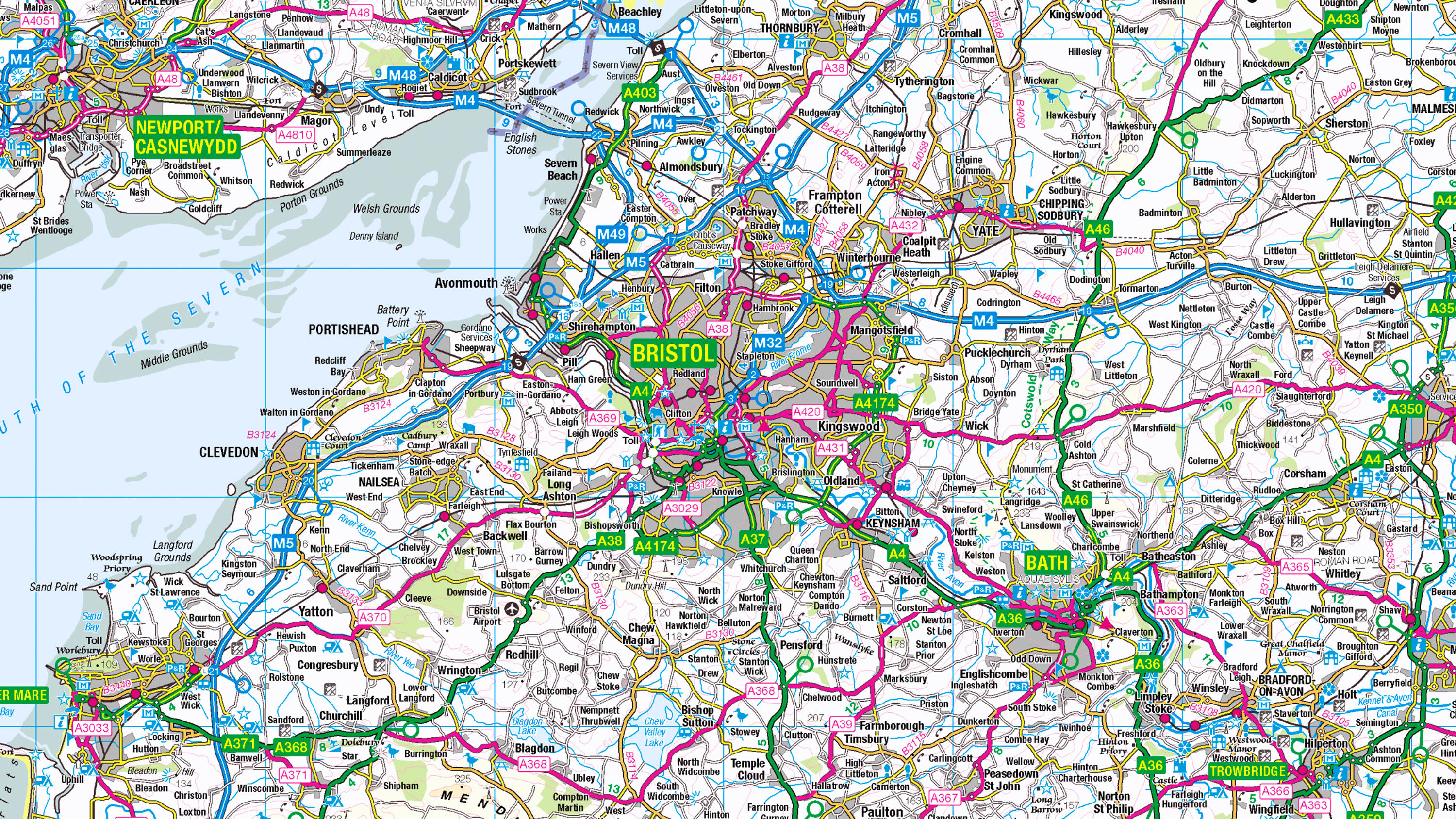
  • 1:250 000 Scale Colour Raster is an open dataset of the regional view of towns and villages, roads and places of interest.

    DownloadContextual or derived mappingOS OpenData Plan (FREE)Public Sector PlanPremium PlanEnergy & Infrastructure Plan
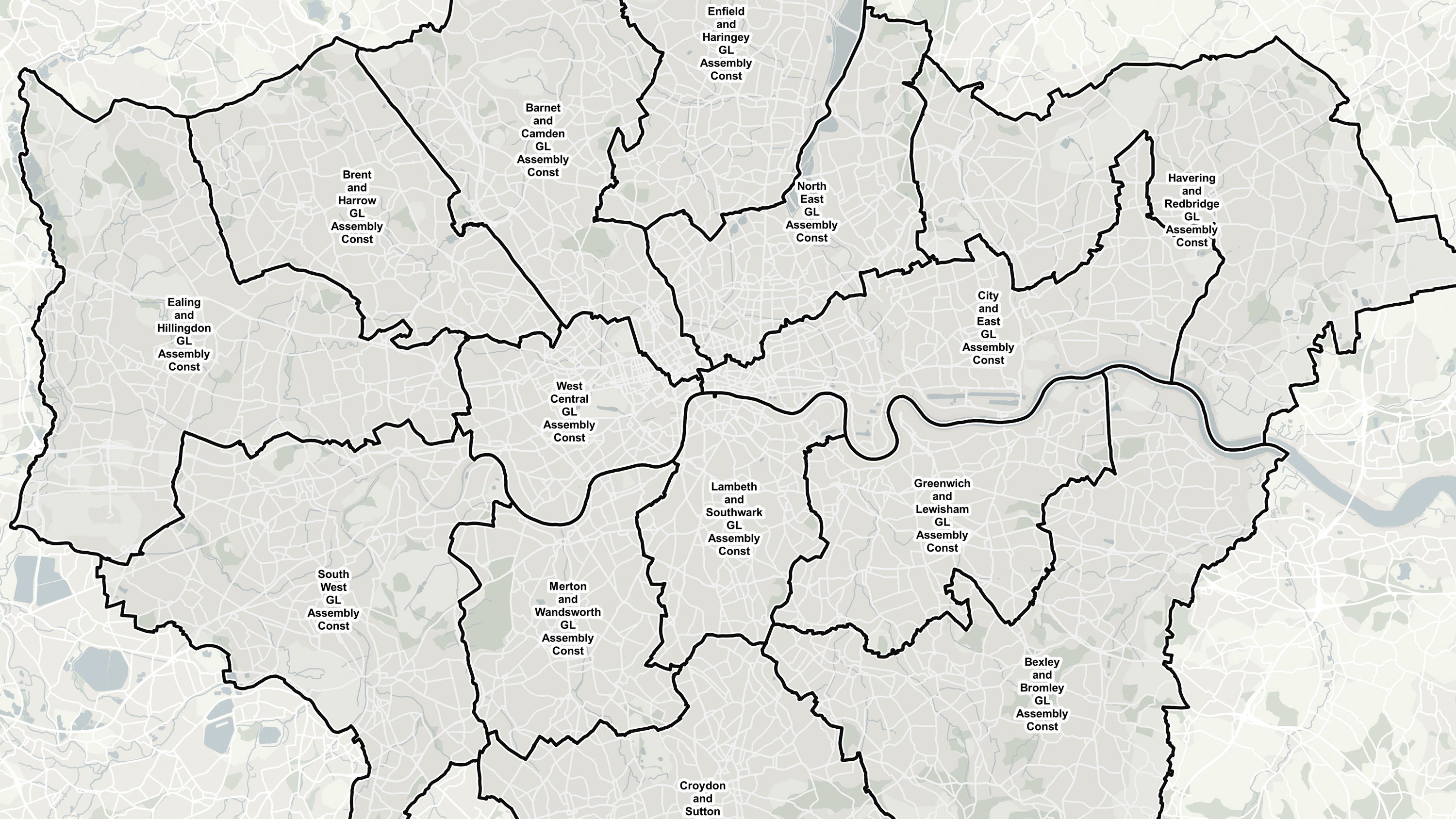
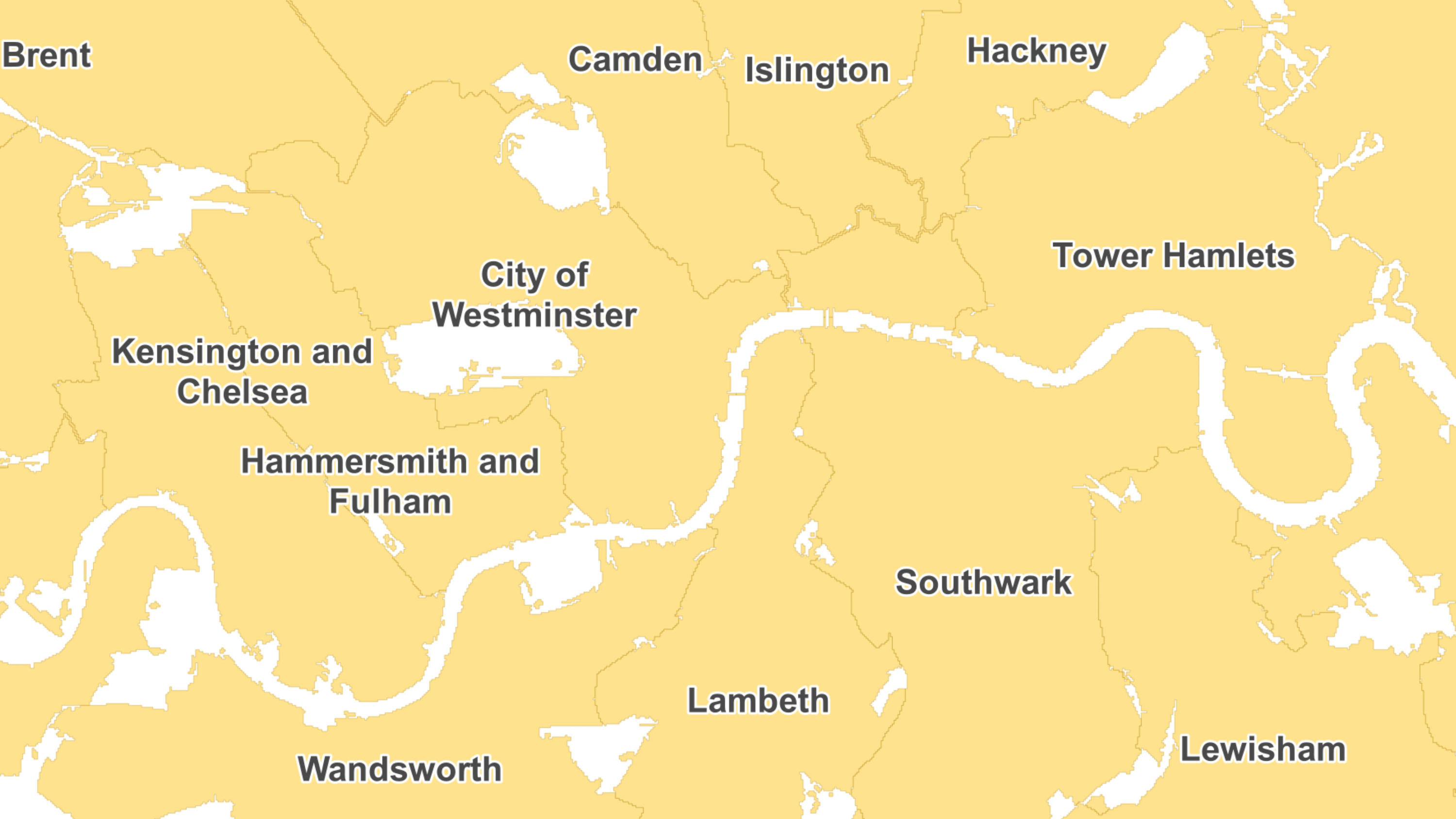
  • Ordnance Survey's Boundary-Line™ is an open dataset of every administrative boundary in Great Britain.

    DownloadAddressing and locationOS OpenData Plan (FREE)Public Sector PlanPremium PlanEnergy & Infrastructure Plan
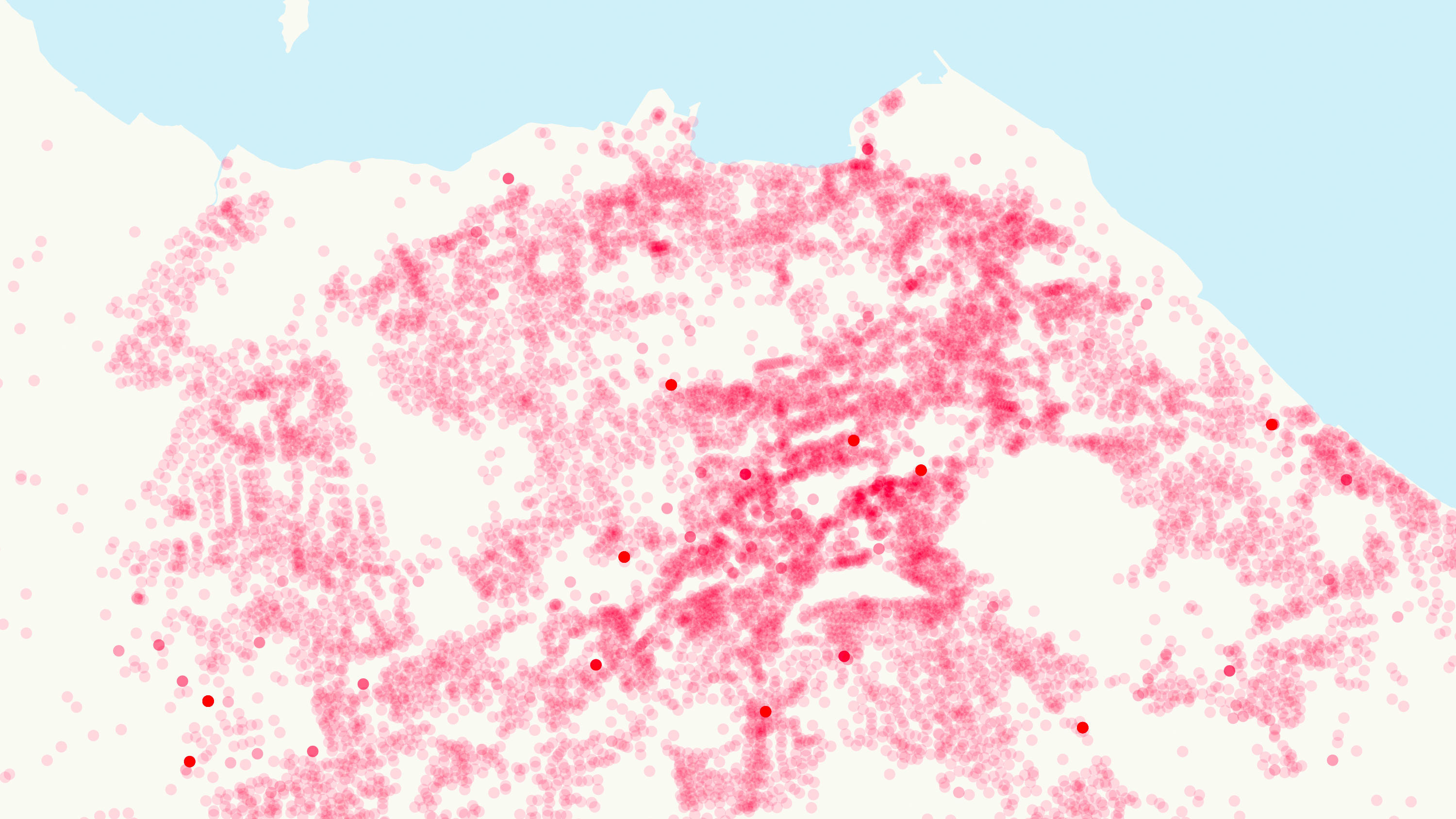
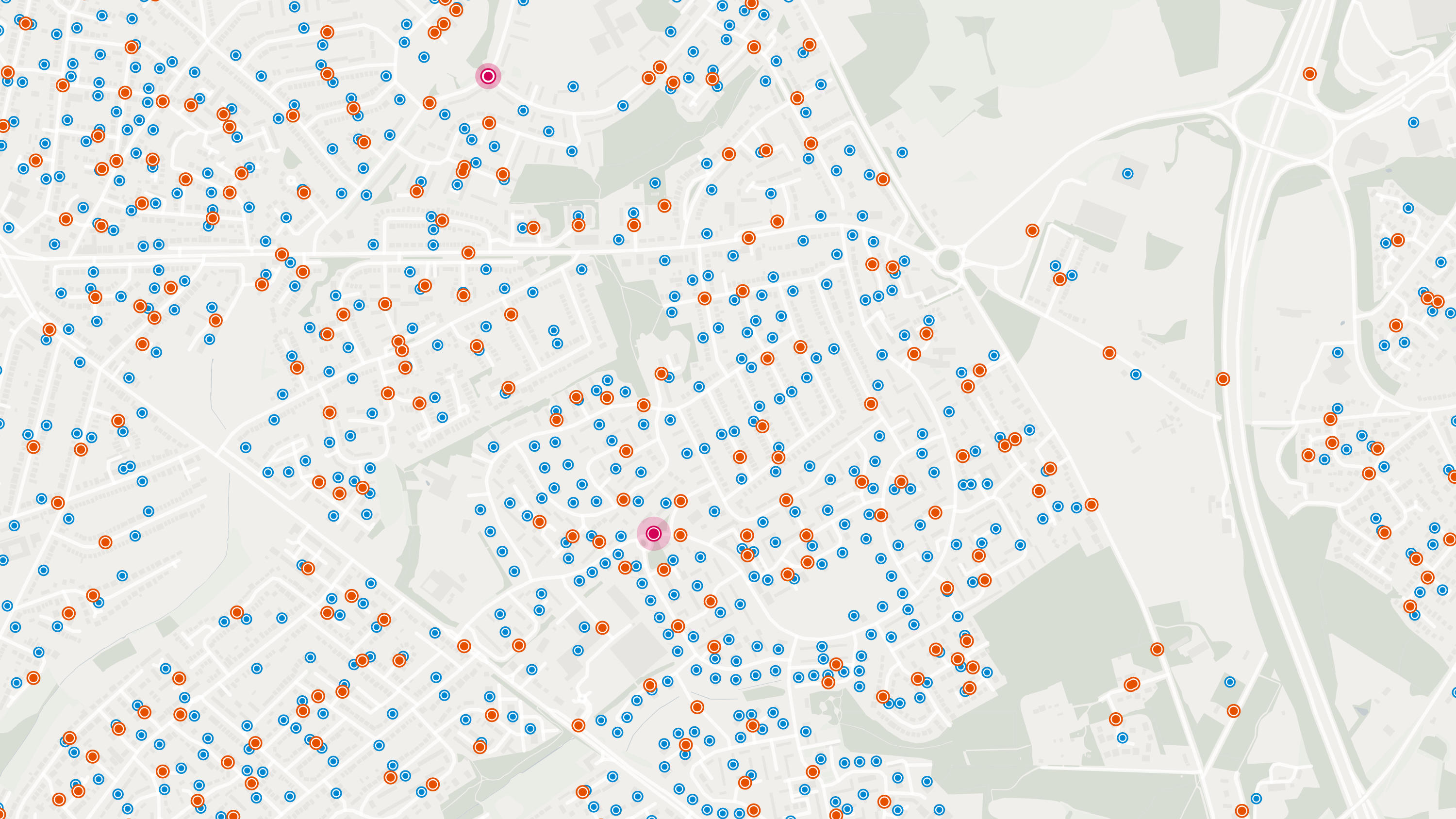
  • Ordnance Survey's Code-Point® Open is an open dataset of all the current postcode units in Great Britain.

    DownloadAddressing and locationOS OpenData Plan (FREE)Public Sector PlanPremium PlanEnergy & Infrastructure Plan
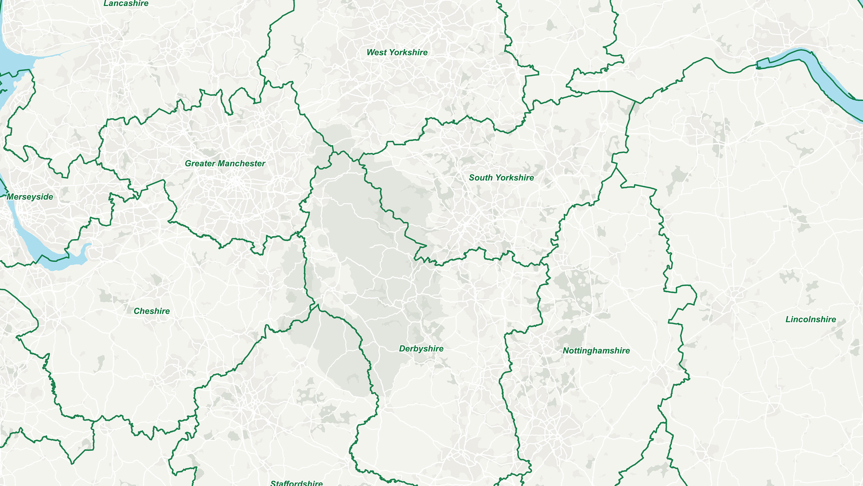
  • GB Counties - Past and Present displays historic and ceremonial counties in Great Britain.

    DownloadAddressing and locationOS OpenData Plan (FREE)Premium PlanPublic Sector PlanEnergy & Infrastructure Plan
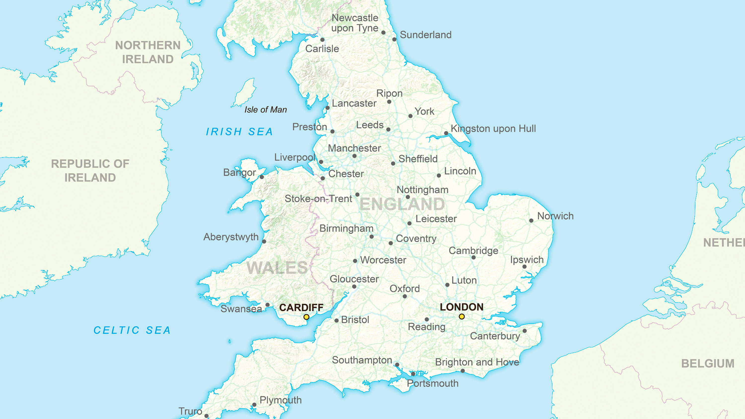
  • Ordnance Survey's GB Overview Maps is an open overview map of Great Britain.

    DownloadContextual or derived mappingOS OpenData Plan (FREE)Premium PlanPublic Sector PlanEnergy & Infrastructure Plan
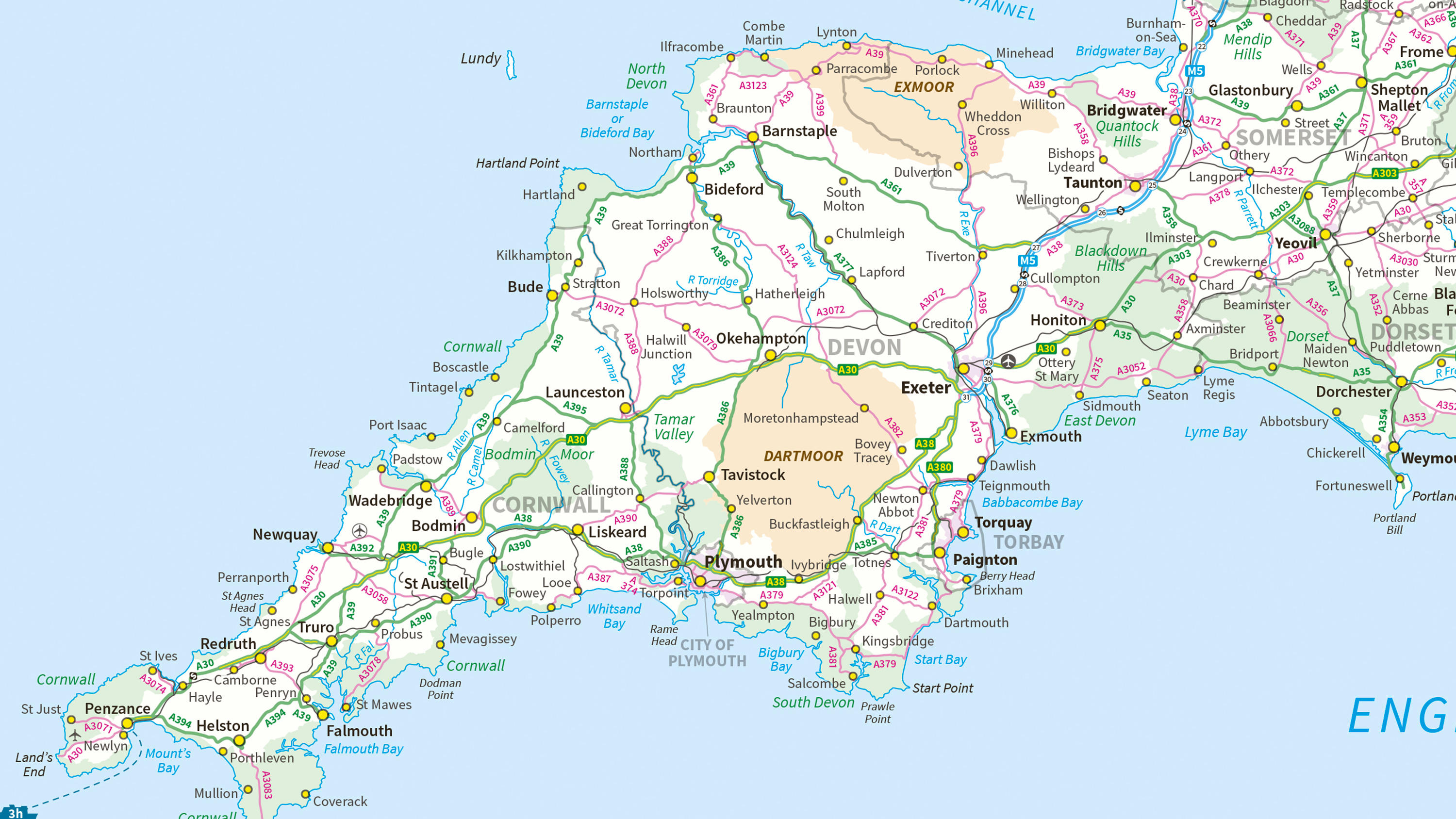
  • Ordnance Survey's MiniScale® is an open national backdrop map of Great Britain.

    DownloadContextual or derived mappingEnergy & Infrastructure PlanOS OpenData Plan (FREE)Premium PlanPublic Sector Plan
  • The OS Downloads API lets you script and automate your downloads of OS OpenData and OS Premium data. Save valuable time by automating the process.

    APINetworksOS OpenData Plan (FREE)Premium PlanPublic Sector PlanEnergy & Infrastructure Plan
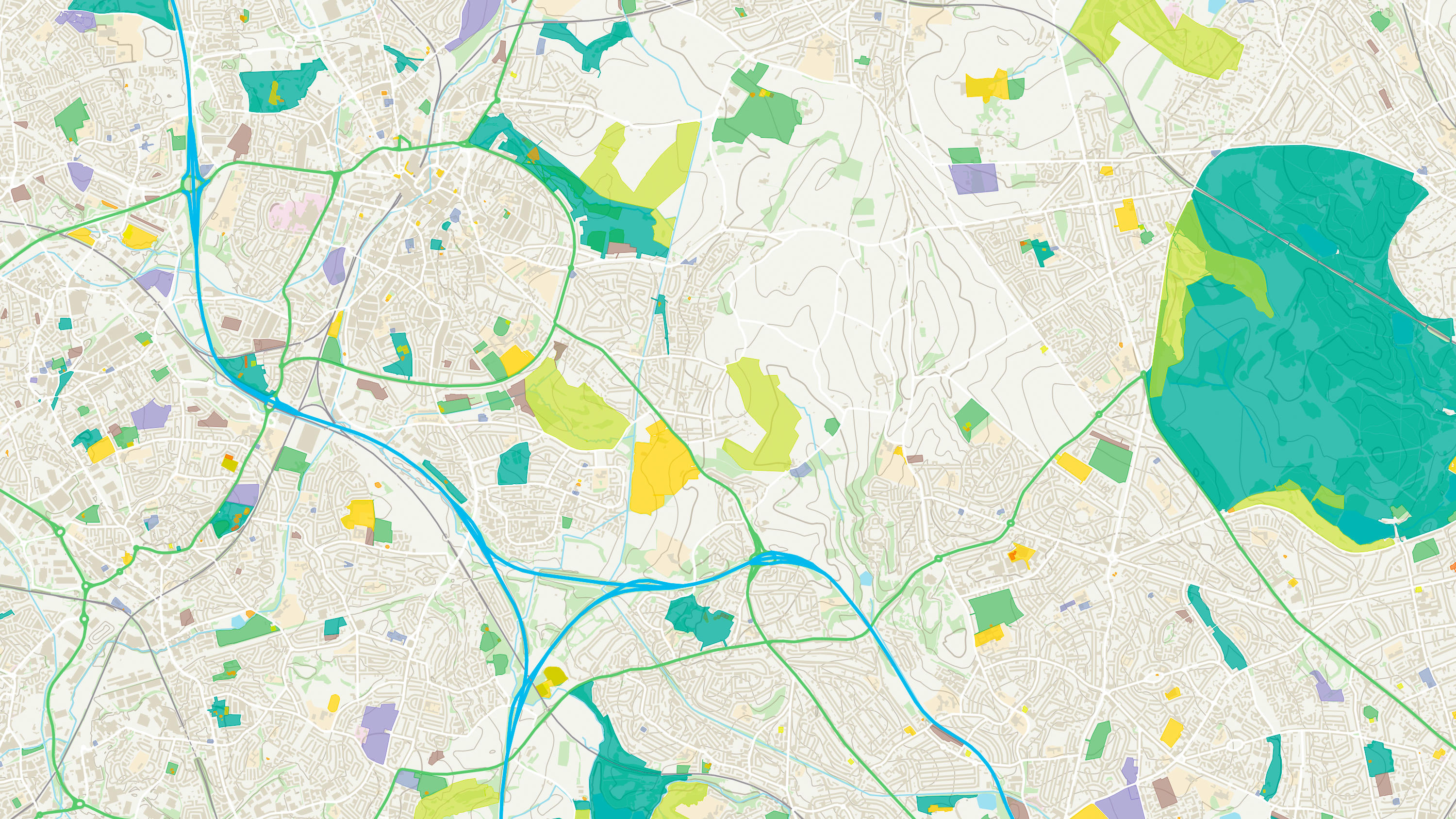
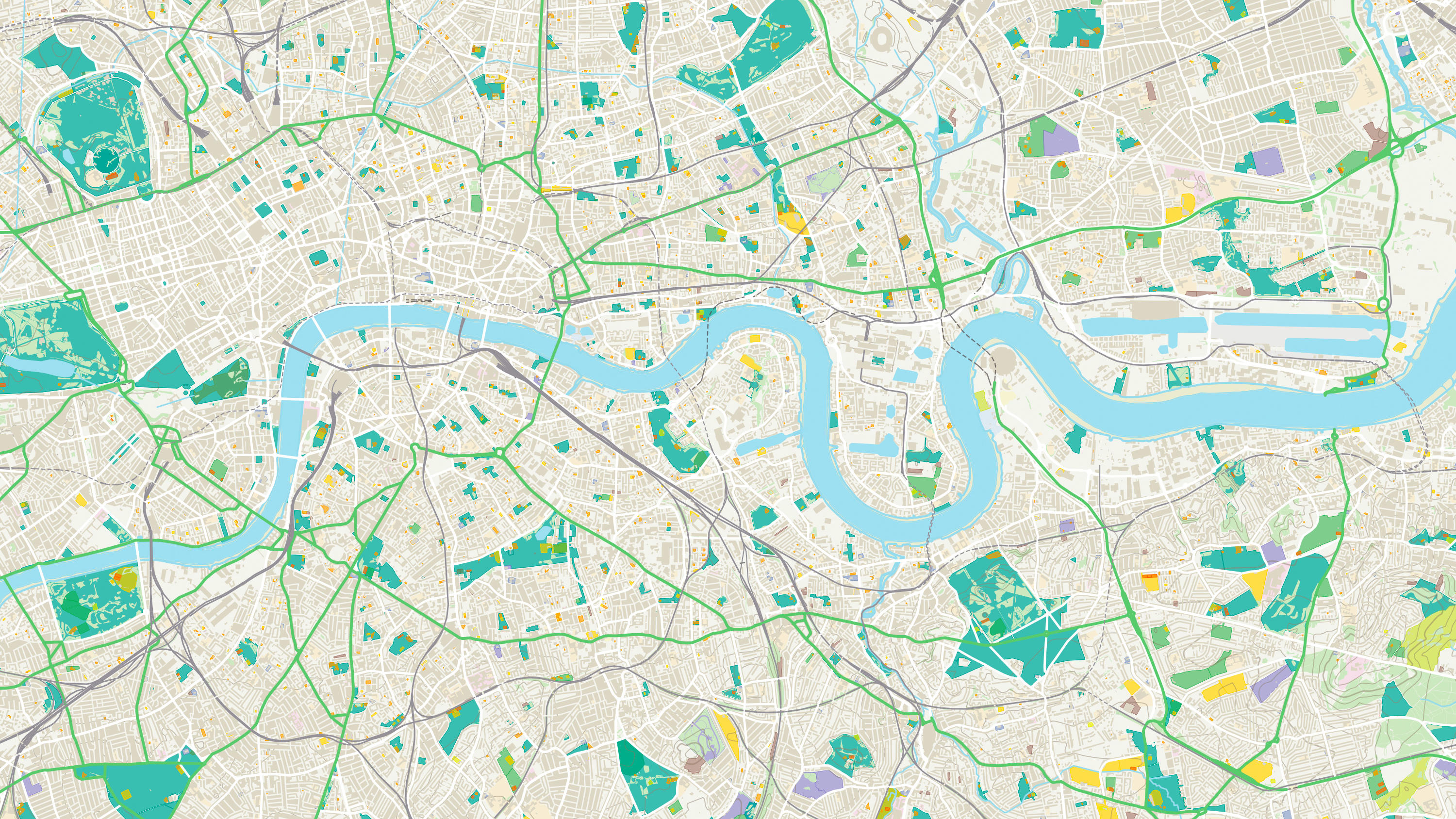
  • An API to filter Ordnance Survey data for buildings, roads, rivers, hospitals, playing fields, greenspaces.

    APITopographyOS OpenData Plan (FREE)Premium PlanPublic Sector PlanEnergy & Infrastructure Plan
  • Access the relationships between properties, streets and OS MasterMap identifiers for free.

    APIIdentifiersOS OpenData Plan (FREE)Premium PlanPublic Sector PlanEnergy & Infrastructure Plan
  • Accurate, up-to-date maps that offer the most convenient way to add detailed OS data to your application.

    APIContextual or derived mappingOS OpenData Plan (FREE)Premium PlanPublic Sector PlanEnergy & Infrastructure Plan
  • A geographic directory with basic information on identifiable places. Find the closest location to a given point through the API.

    APIAddressing and locationEnergy & Infrastructure PlanOS OpenData Plan (FREE)Premium PlanPublic Sector Plan
  • The statistical geographies used by Government departments to analyse census data, deliver on policy and improve services.

    DownloadAddressing and locationEnergy & Infrastructure PlanOS OpenData Plan (FREE)Premium PlanPublic Sector Plan
  • An open dataset of greenspaces in urban and rural areas including playing fields, sports’ facilities, play areas and allotments.

    DownloadTopographyEnergy & Infrastructure PlanOS OpenData Plan (FREE)Premium PlanPublic Sector Plan
  • An open dataset of cross-referenced identifiers between various OS data products.

    DownloadIdentifiersEnergy & Infrastructure PlanOS OpenData Plan (FREE)Premium PlanPublic Sector Plan
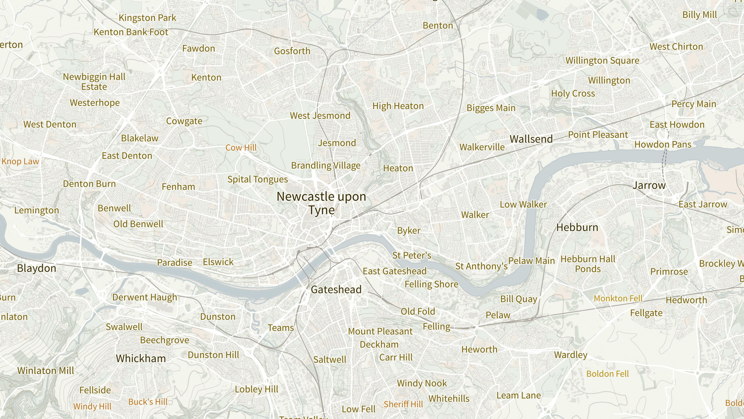
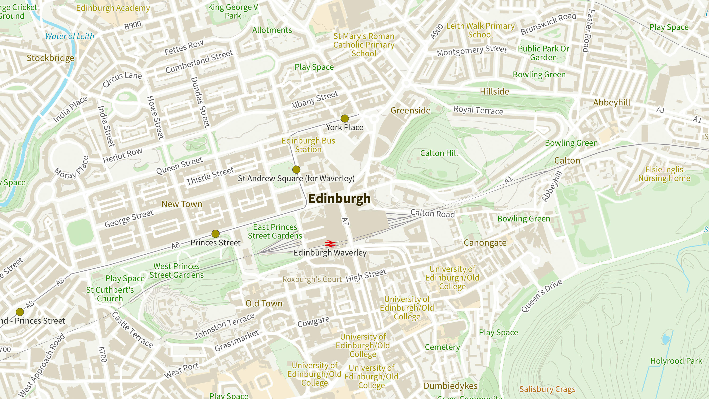
  • OS Open Names is an open dataset of place names, road numbers and postcodes in Great Britain.

    DownloadAddressing and locationEnergy & Infrastructure PlanOS OpenData Plan (FREE)Premium PlanPublic Sector Plan
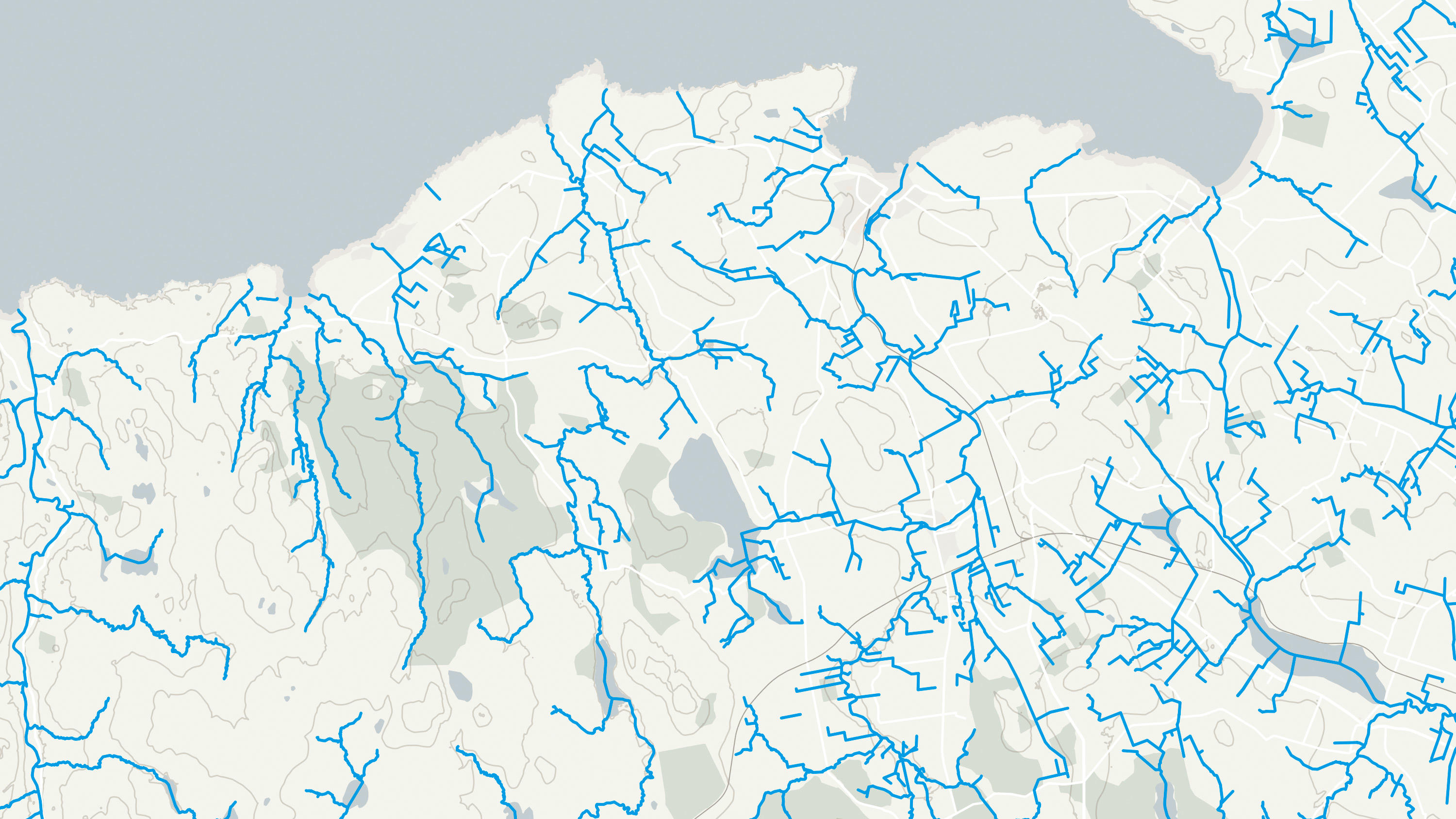
  • An open dataset of the high-level view of watercourses in Great Britain.

    DownloadNetworksEnergy & Infrastructure PlanOS OpenData Plan (FREE)Premium PlanPublic Sector Plan
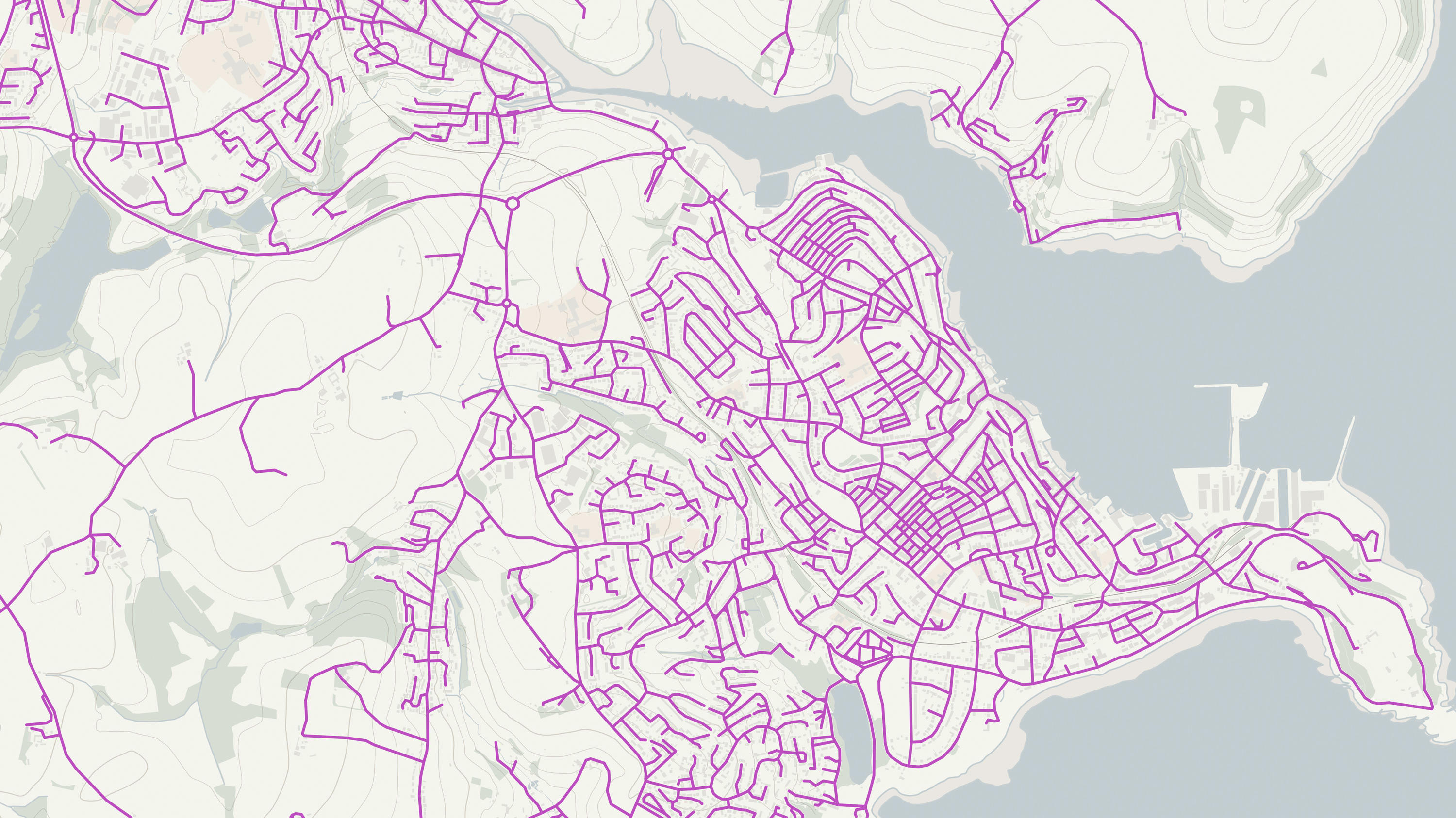
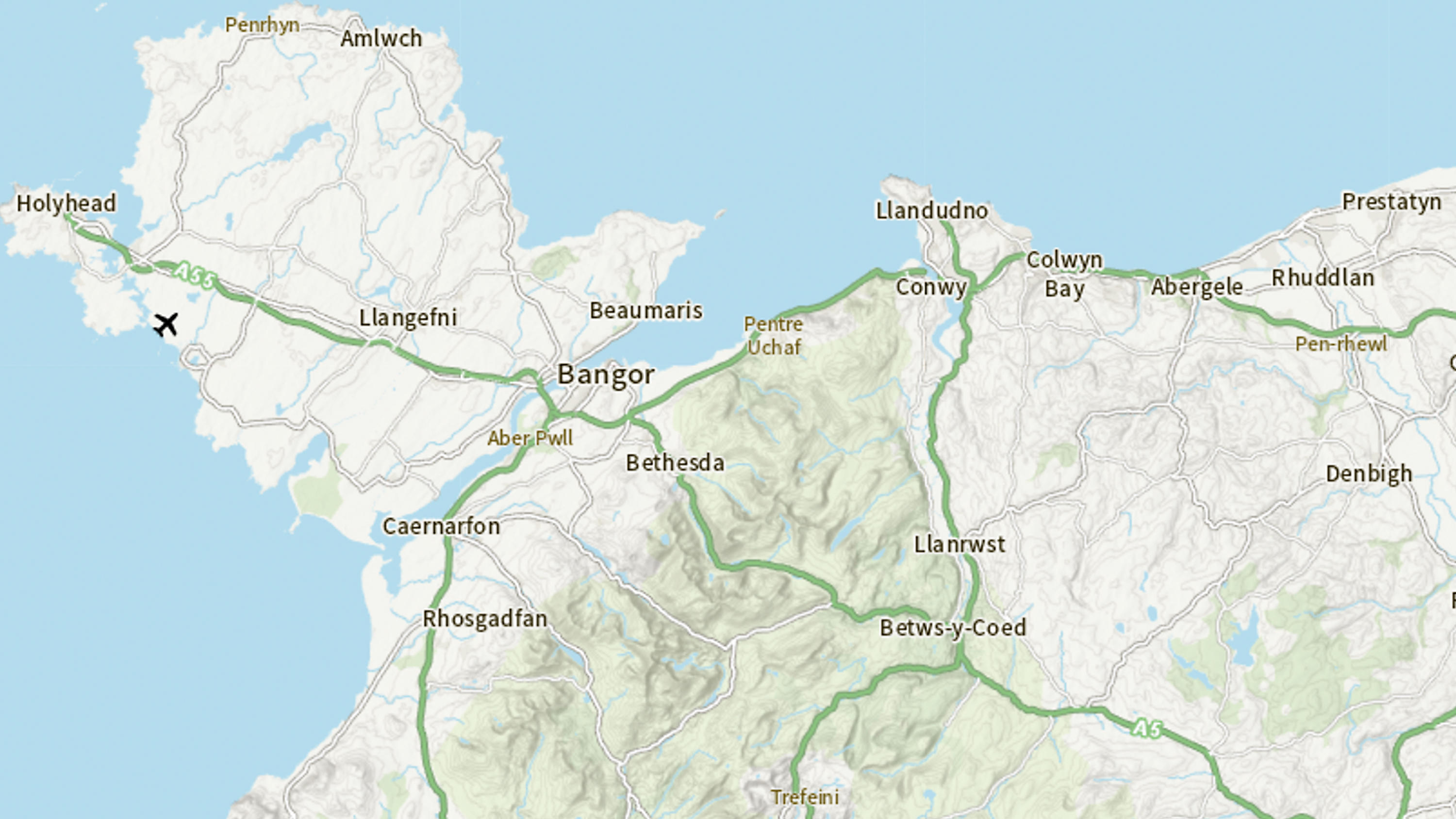
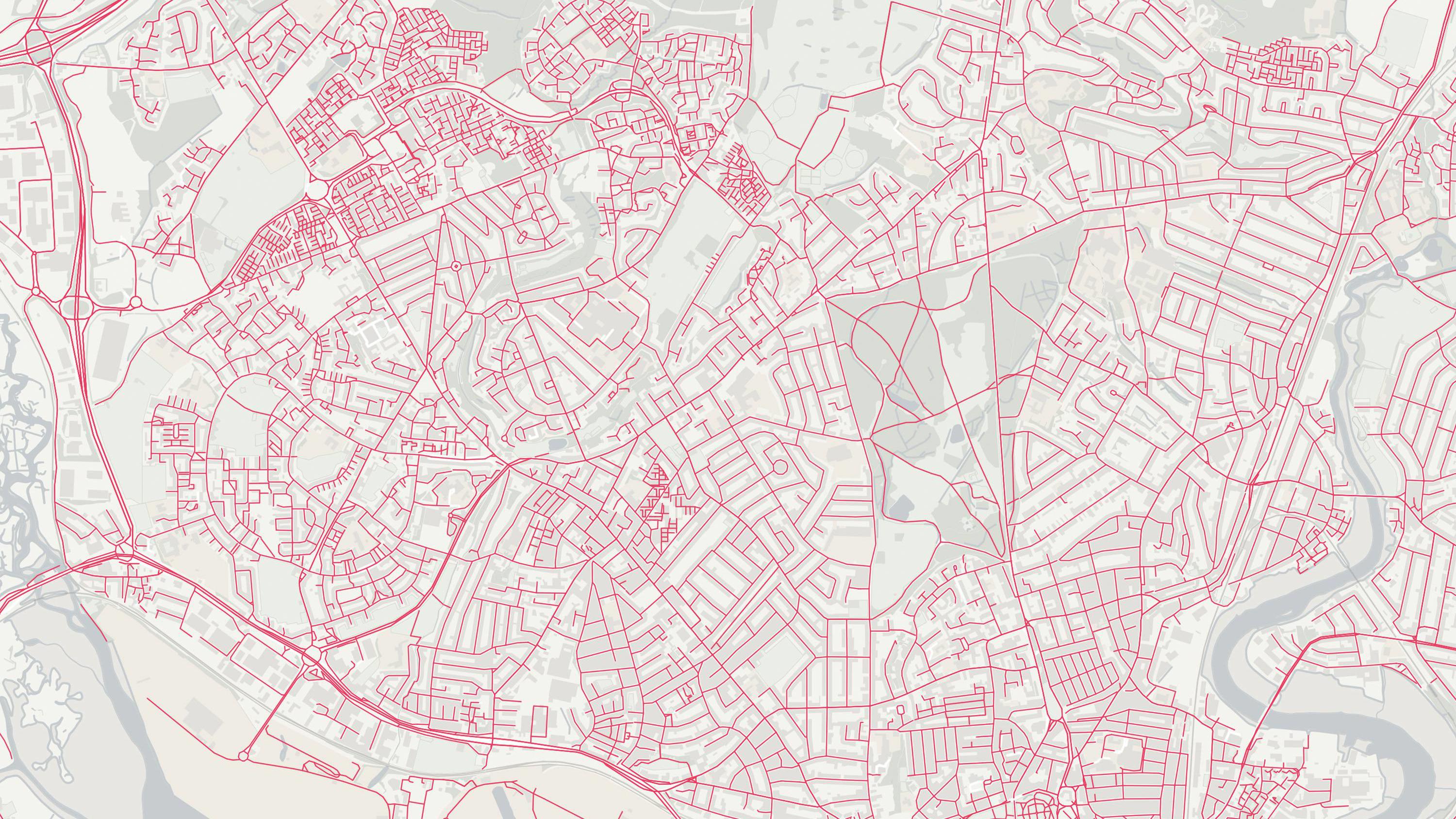
  • An open dataset of the high-level view of the road network in Great Britain.

    DownloadNetworksEnergy & Infrastructure PlanOS OpenData Plan (FREE)Premium PlanPublic Sector Plan
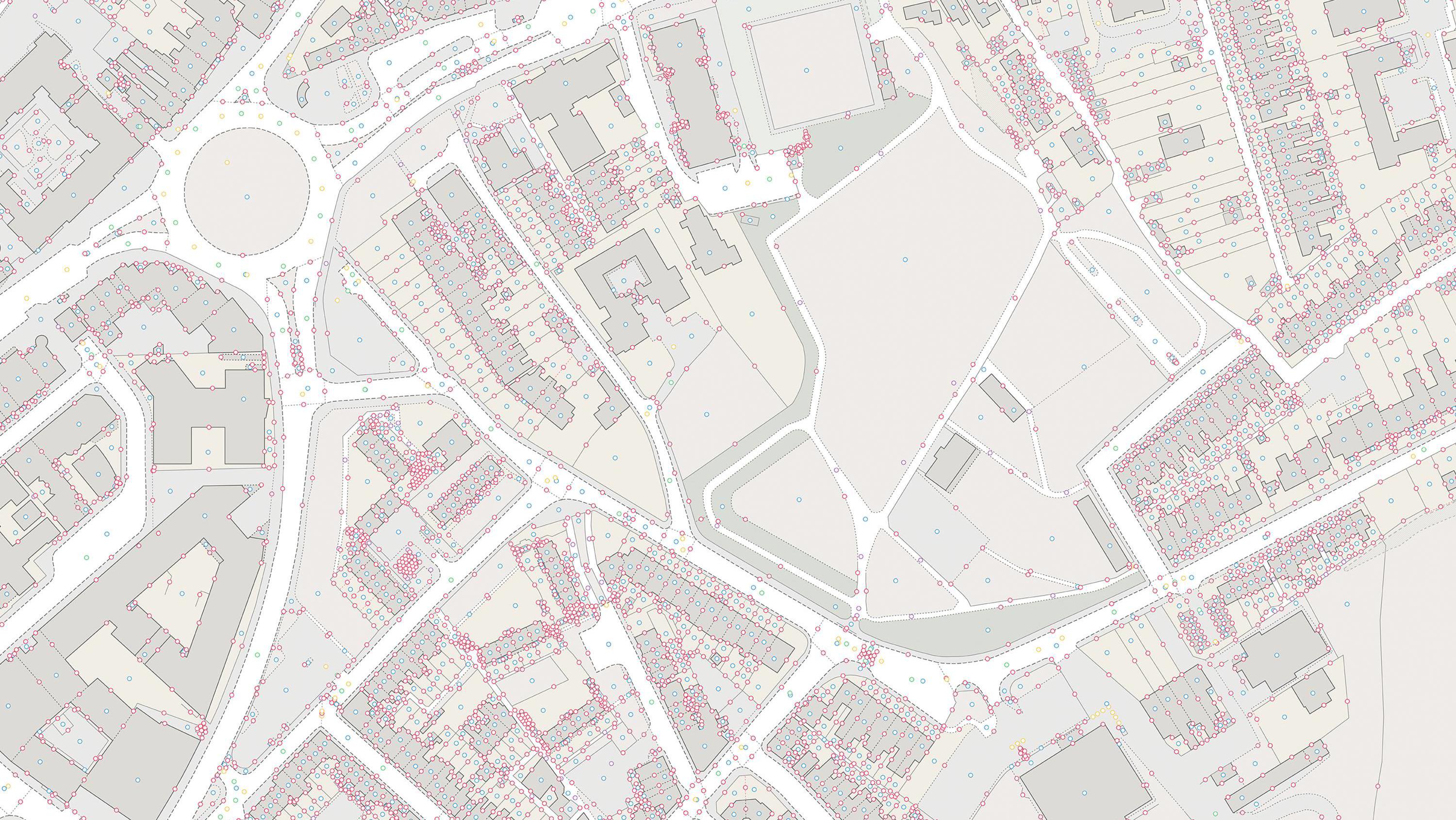
  • A dataset of unique identifiers for a wide range of land-scape and built environment features with a generalised location from OS MasterMap products.

    DownloadIdentifiersEnergy & Infrastructure PlanOS OpenData Plan (FREE)Premium PlanPublic Sector Plan
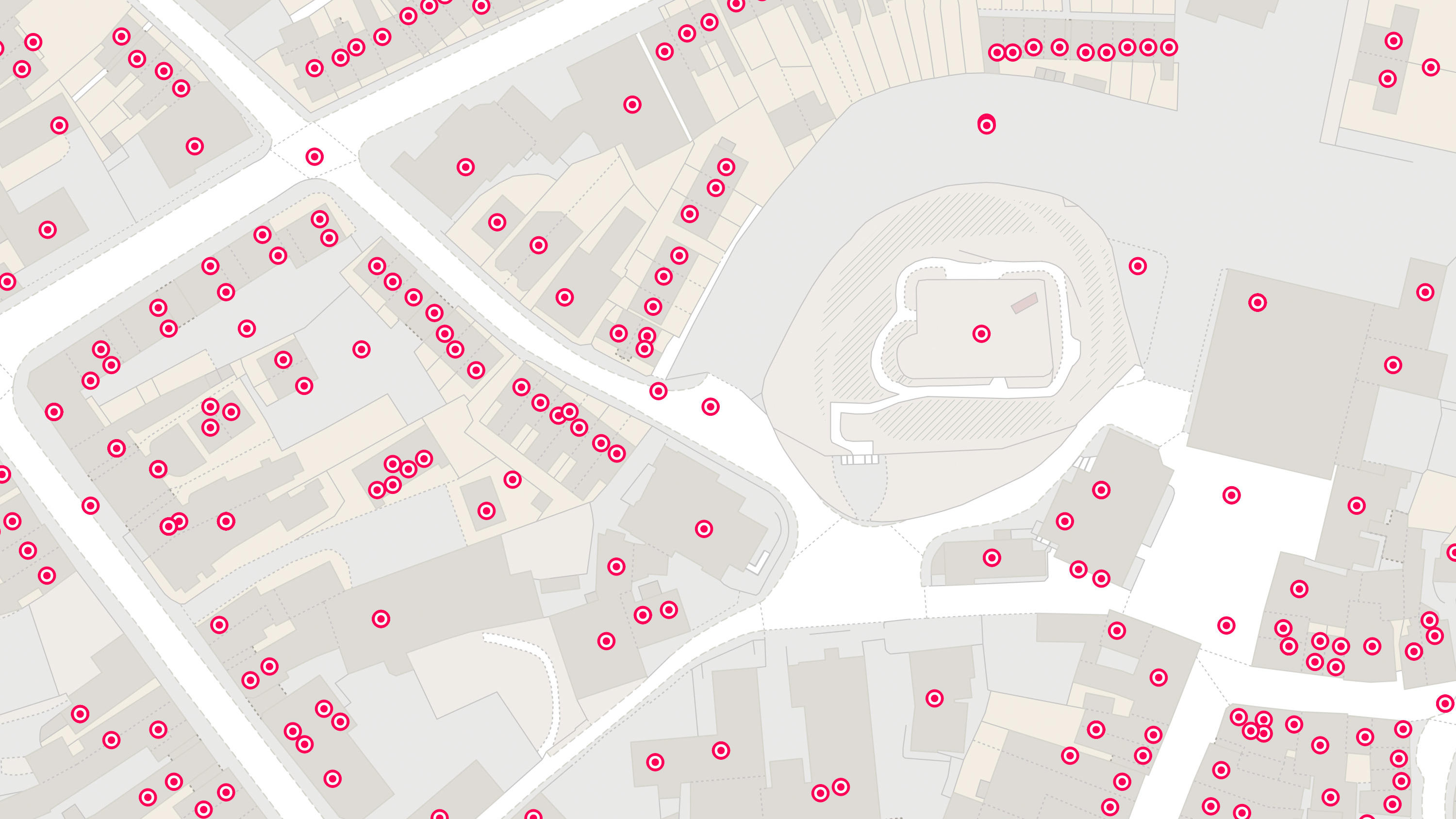
  • An open dataset enabling linking, sharing and visualisation of data related to UPRNs.

    DownloadIdentifiersOS OpenData Plan (FREE)Premium PlanPublic Sector PlanEnergy & Infrastructure Plan
  • An open dataset containing all USRNs from OS MasterMap Highways Network with a simplified line geometry.

    DownloadIdentifiersOS OpenData Plan (FREE)Premium PlanPublic Sector PlanEnergy & Infrastructure Plan
  • Ordnance Survey's OS Open Zoomstack is an open vector basemap showing coverage of Great Britain from a national level, right down to street detail.

    DownloadContextual or derived mappingOS OpenData Plan (FREE)Public Sector PlanPremium PlanEnergy & Infrastructure Plan
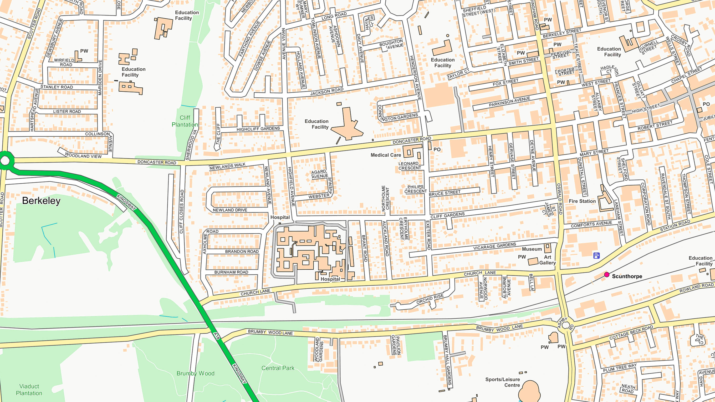
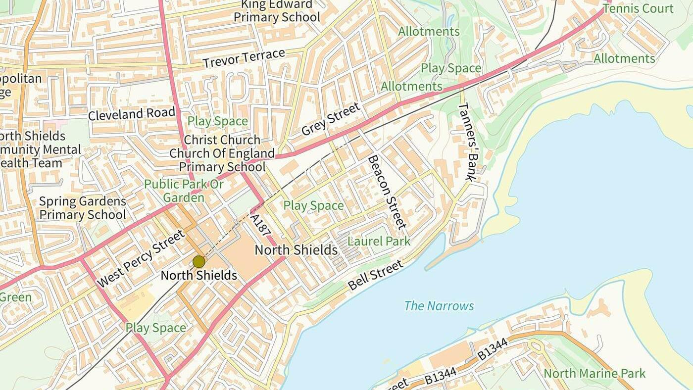
  • OS OpenMap Local is an open dataset of detailed, street-level mapping of Great Britain.

    DownloadContextual or derived mappingEnergy & Infrastructure PlanOS OpenData Plan (FREE)Premium PlanPublic Sector Plan
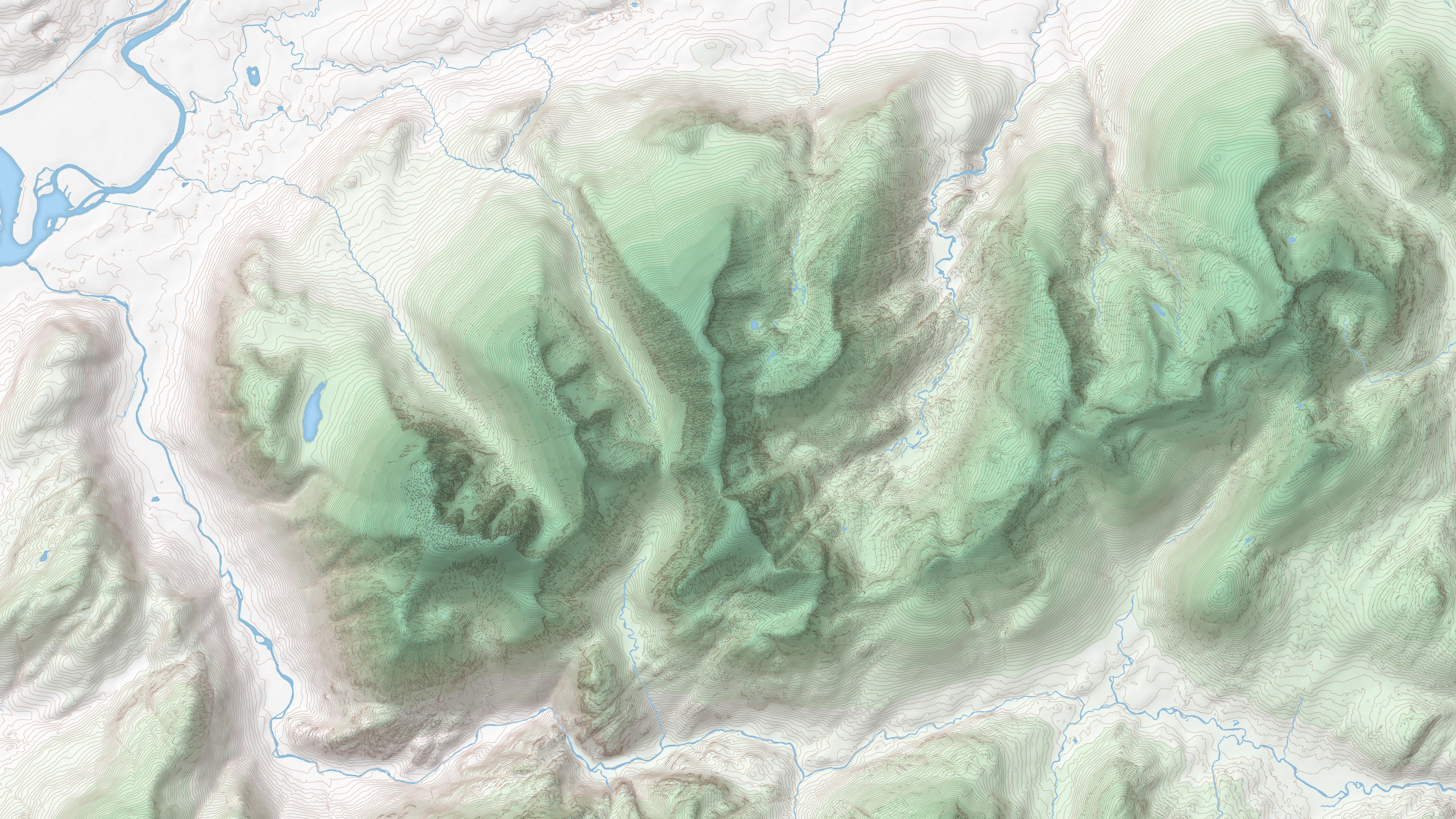
  • OS Terrain® 50 is an open height dataset of contours with spot heights, breaklines, coastline, lakes, ridges and formlines for Great Britain.

    DownloadHeight and imageryOS OpenData Plan (FREE)Public Sector PlanPremium PlanEnergy & Infrastructure Plan
  • A vector tile service providing detailed Ordnance Survey data as a customisable basemap.

    APIContextual or derived mappingOS OpenData Plan (FREE)Public Sector PlanPremium PlanEnergy & Infrastructure Plan