OS data products
Search below to find the best geospatial data product for you
- Page 1

An API to filter Ordnance Survey data for buildings, roads, rivers, hospitals, playing fields, greenspaces.
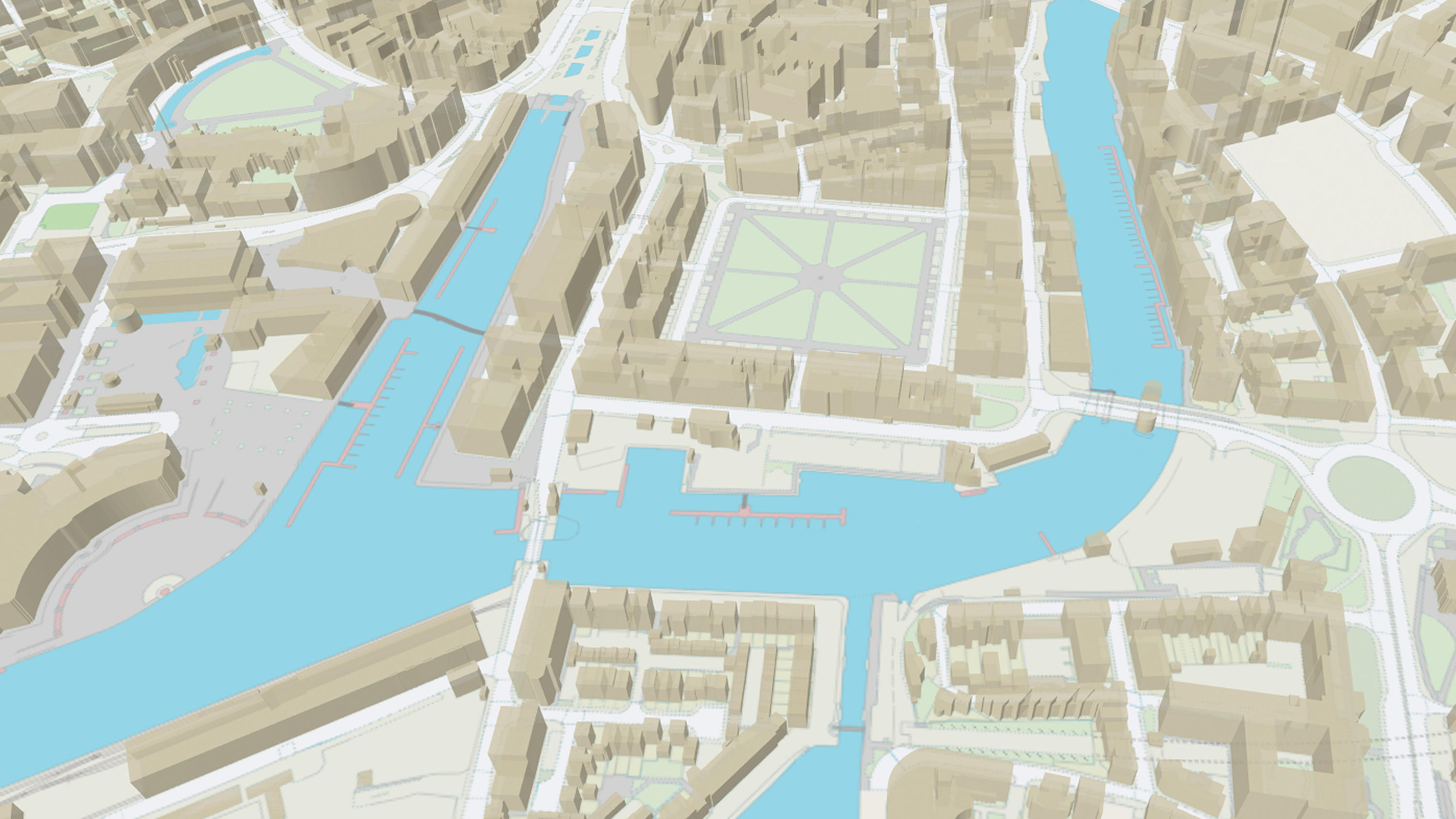
OS MasterMap Topography Layer is a dataset showing building heights for Great Britain.
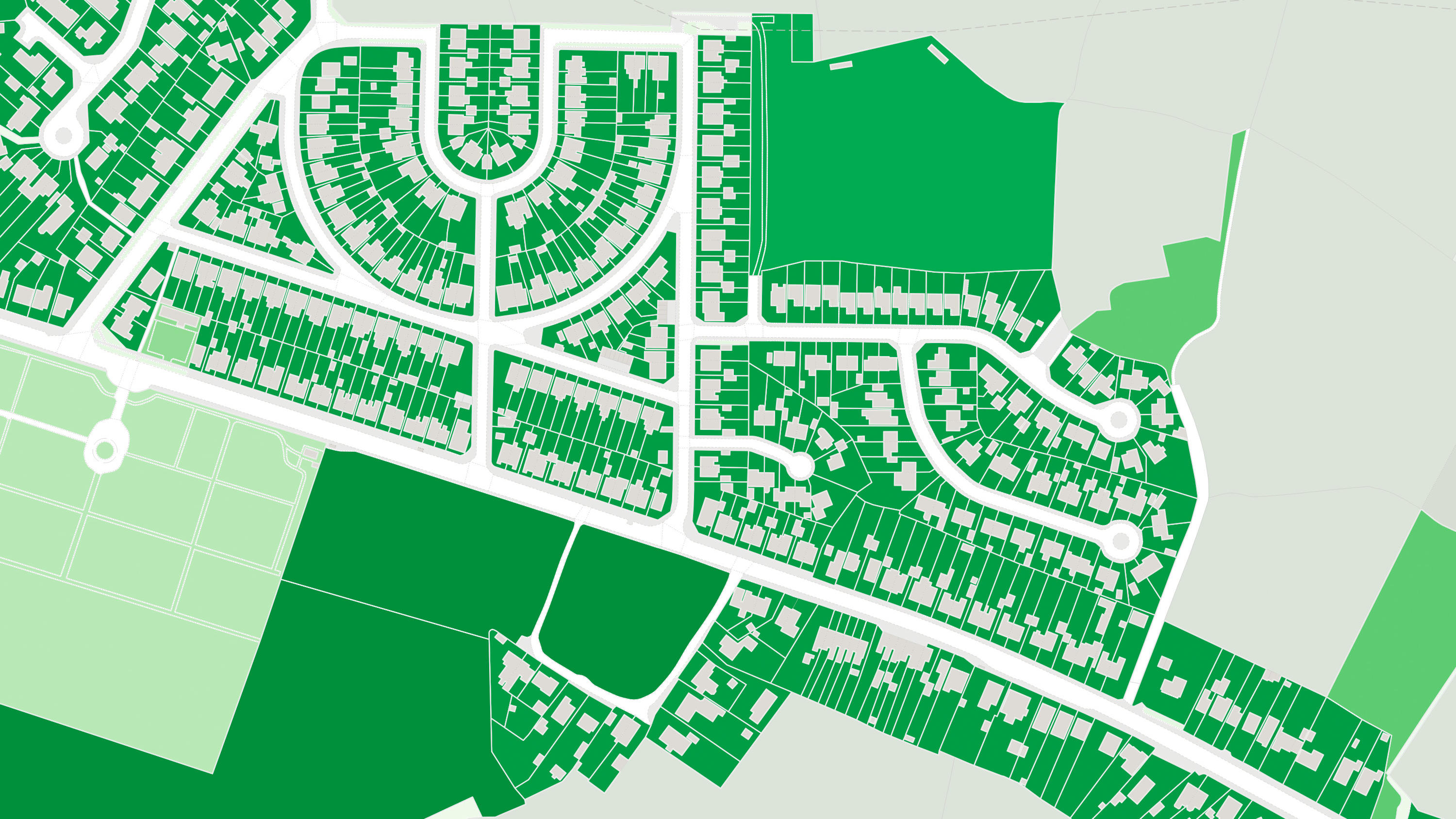
OS MasterMap® Greenspace Layer is a detailed dataset of the greenspaces within an urban area for Great Britain.
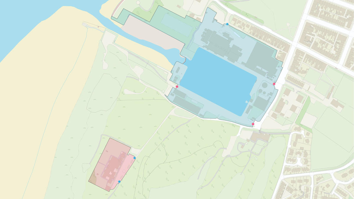
OS MasterMap® Sites Layer is a nationally maintained view of the detailed extents of locations like airports, schools, hospitals, utility and more.
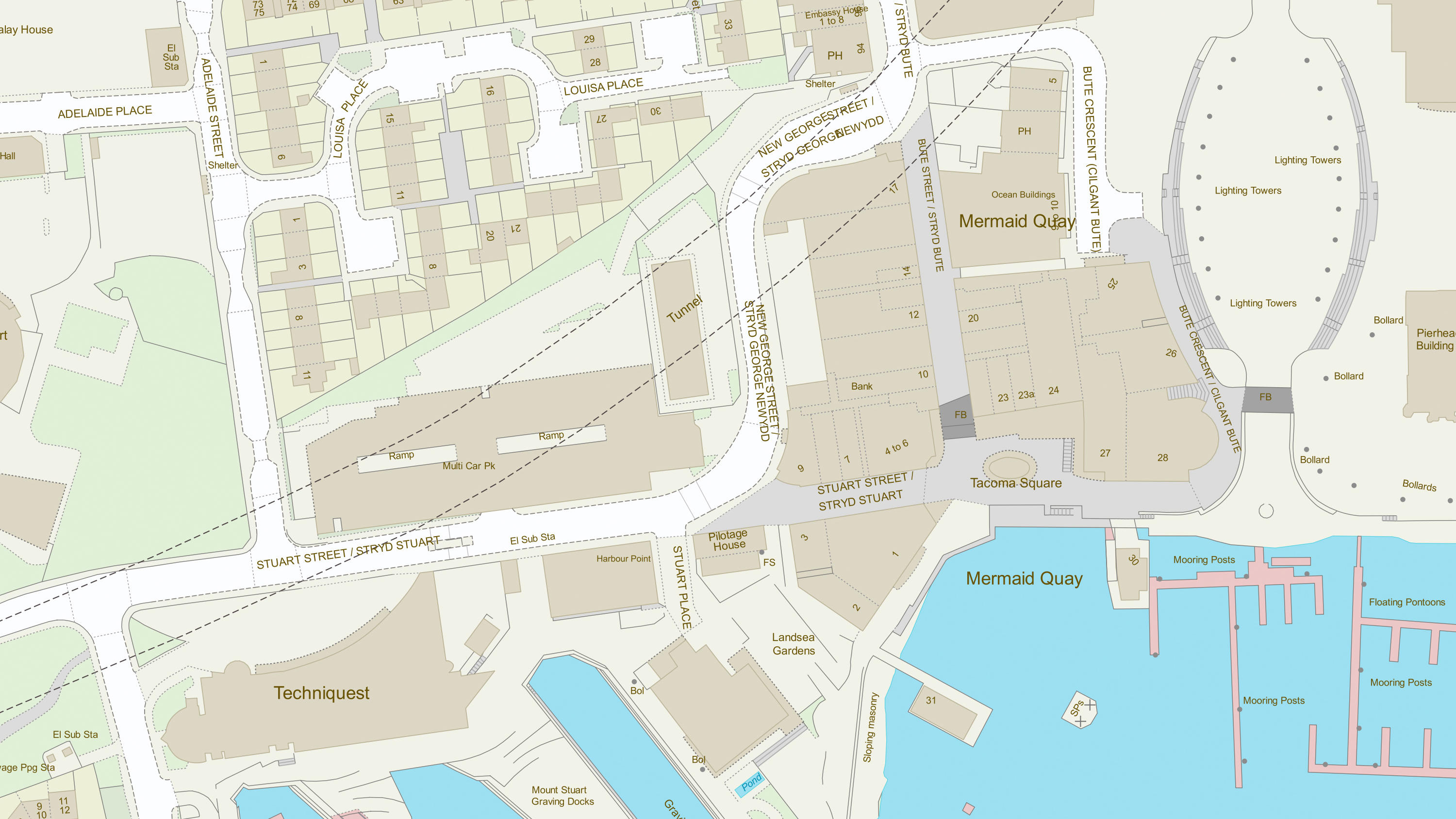
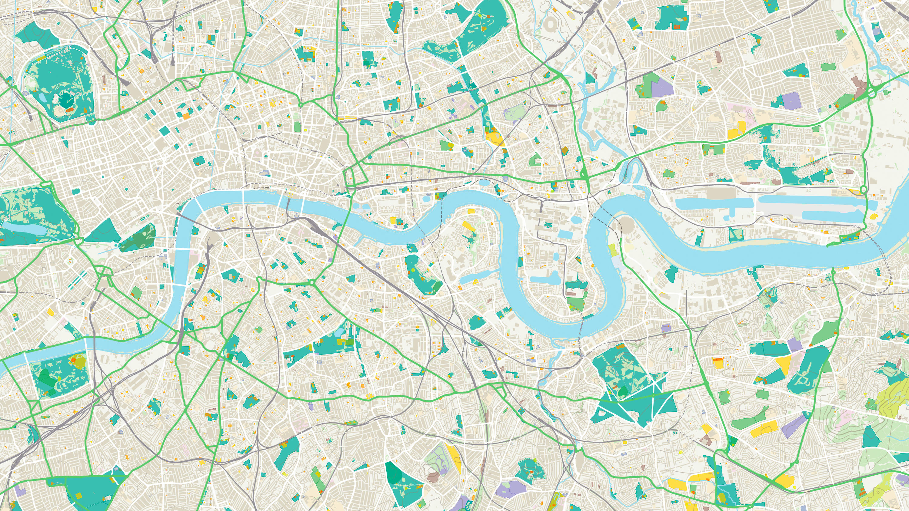
A map dataset of Great Britain's landscape – from roads to fields, to buildings and trees, fences, paths and more.
An open dataset of greenspaces in urban and rural areas including playing fields, sports’ facilities, play areas and allotments.