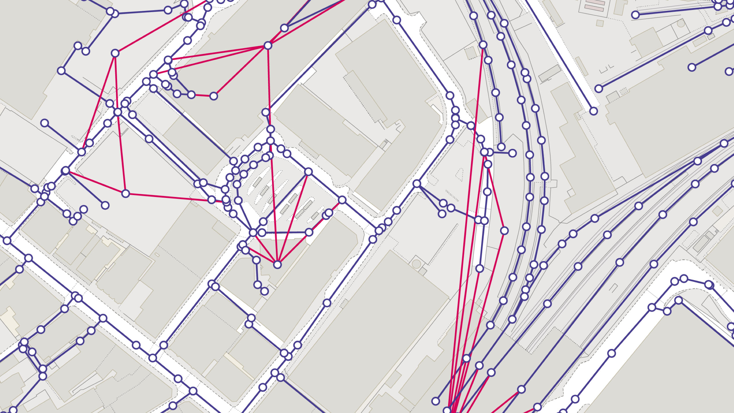
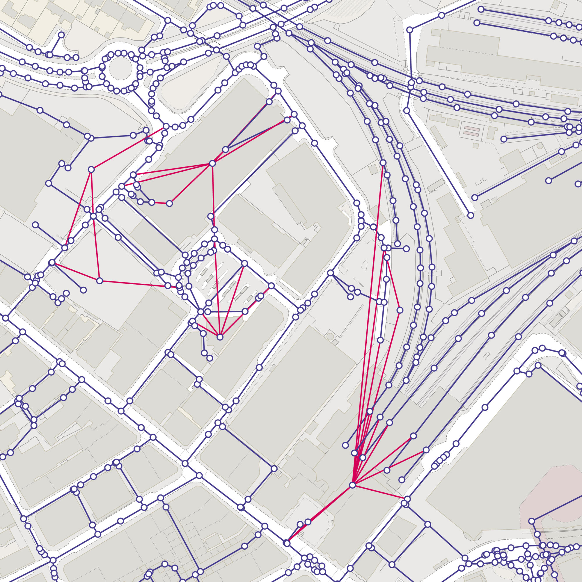
OS Multi-modal Routing Network
OS Multi-modal Routing Network is a fully connected network dedicated for the multi-modal routing of people and goods, designed for use in routing applications. It contains connectivity between different modal networks and key transport sites, along with road restriction information and speed data.
This product is updated monthly