Challenge
Policing is complex and covers a wide range of activities – protecting the public and their property, preventing crime, investigation, counter terrorism, and responding to live incidents.
The Met Police need a comprehensive understanding on:
- Crime analysis – where crimes have taken place
- Enquiries and searches – planning and carrying out door-to-door enquiries and search operations
- Specialist operations – planning approach routes, cordons, and vehicle movements
- Events policing – where to place cameras and barriers
Solution
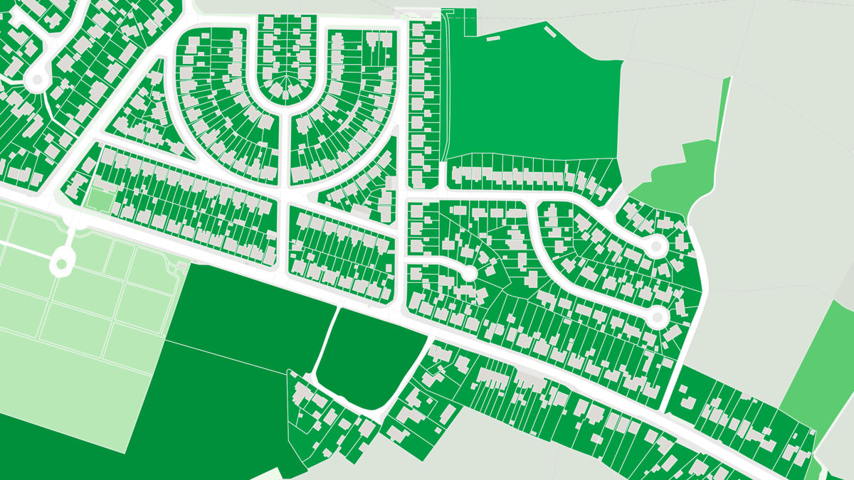
Location data and map products from Ordnance Survey (OS) are being used by police officers across a broad range of job roles and applications. The location intelligence being provided is underpinned by APIs which give officers the latest data, and highly accurate spatial awareness.
Crime data is also overlaid maps which can be used for crime analysis, such as viewing crime hot spots, and in court.
There are different layers of geography that can be applied. For example, the GreenSpace layer provides officers information about entry points into parks, which are useful at night when attending incidents.
Maps are also used to work out exclusion zones around an incident for planning building evacuations and road closures. They can also show any gaps in patrolling to make informed changes on where or where not to go. Changes to ward boundaries also give officers clear information on where they are to police.
Result
The benefit of using location data and mapping from OS is widespread. It makes complex tasks simpler, gives detailed information to officers so they can quickly get an understanding of an area, and it provides valuable analysis of crime data. Data that is in a spreadsheet can be made far more useful when integrated into a map.
APIs and data from OS don’t require the need for specialist knowledge, and OS provides help and support to any public sector organisation which, through the Public Sector Geospatial Agreement (PSGA), receives access to OS’s valuable location data.
"OS data supports a wide range of police operations across the Met Police, by providing high-quality and up-to-date information."